fbpx

April 2017

Photo of author Brad Thiessen by Adam Harum.

Why I Still Run

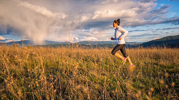
In June 2015, I wrote an article for Out There Monthly called “Why I Run” about training for my first 50k trail run. The run never happened. I was supposed to be shaking my legs out in nervous excitement alongside a couple hundred other runners at the starting line of the Rattlesnake Ridge Run. Instead, […]

Why I Still Run Read More »

Photo by Amy Silbernagel McCaffree.

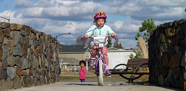
Pedal to The Park: Explore Spokane’s Parks by Bike

Hop on your bike and pedal your way to one of these local parks for some simple, no-cost recreational fun. To find the best biking route, go to Srtc.maps.arcgis.com and search for “Spokane Regional Bike Map” to access Spokane’s interactive online map of the bike lanes, trails and shared roadways (great to use on-the-go if

Pedal to The Park: Explore Spokane’s Parks by Bike Read More »

Photo by Aaron Theisen.

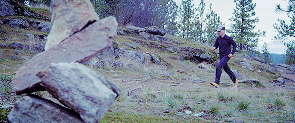
Run Wild, Spokane: The Makings of a Trail Running Town

Located in the sweet spot between the Cascades and the Selkirk mountains, Spokane’s surrounding region hosts thousands of acres of public lands with hundreds of miles of trails. Resting on the edge of the arid Columbia River Basin, the stable climate almost permits year-round trail running. Spokane County features the two largest State Parks in

Run Wild, Spokane: The Makings of a Trail Running Town Read More »

Scroll to Top