Usk, Wash.
By Mike Lithgow
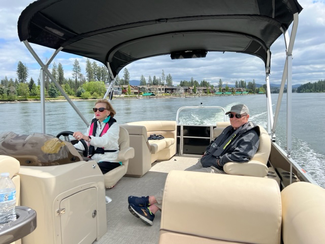
Connection to the land is at the core of Kalispel culture. The Kalispel people historically occupied and utilized an area of 2.3 million acres located in Northeast Washington, North Idaho, and Northwest Montana. This land is an incredibly diverse place, and the Kalispel were able to thrive on the resources that this landscape produced.
In 1914, the Kalispel were forced from their larger aboriginal landscape and isolated onto their Reservation through an executive order signed by then-President Woodrow Wilson. This executive order created a roughly 4,700-acre reservation for the Kalispel along the Pend Oreille River near Cusick and Usk, Washington. Much of this acreage lies within an active floodplain or on the steep slopes of the Selkirk Range, not nearly enough land for the Tribe to continue to sustain itself.
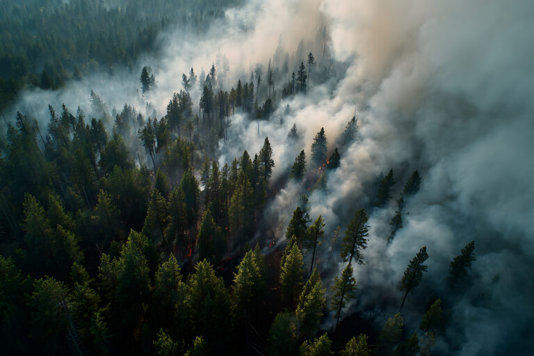
Much of the aboriginal landscape of the Kalispel are public lands managed by state and federal agencies. The concept of active management of these lands is not new, as the Kalispel have been managing this terrain using fire since time immemorial. Fire is an important ecological tool, but today’s landscape necessitates the use of additional modern forestry techniques.
To increase the pace and scale of active management and restoration of this landscape, the Kalispel Tribe decided to take a seat at the table with the other land managers by proposing a Tribal Forest Protection Act project called the Sxwuytn-Kaniksu Connections or “Trail” Project.
Where exactly is the Sxwuytn (su-who-y-tin)-Kaniksu Connections or “Trail” Project? And why the name Sxwuytn?
First, the name is a Kalispel Salish word meaning “trail or connections.” The name perfectly fits the purpose and intent of this project, which is to connect all people within the surrounding communities to the management of their surrounding landscape. The project’s nickname is “Trail.”
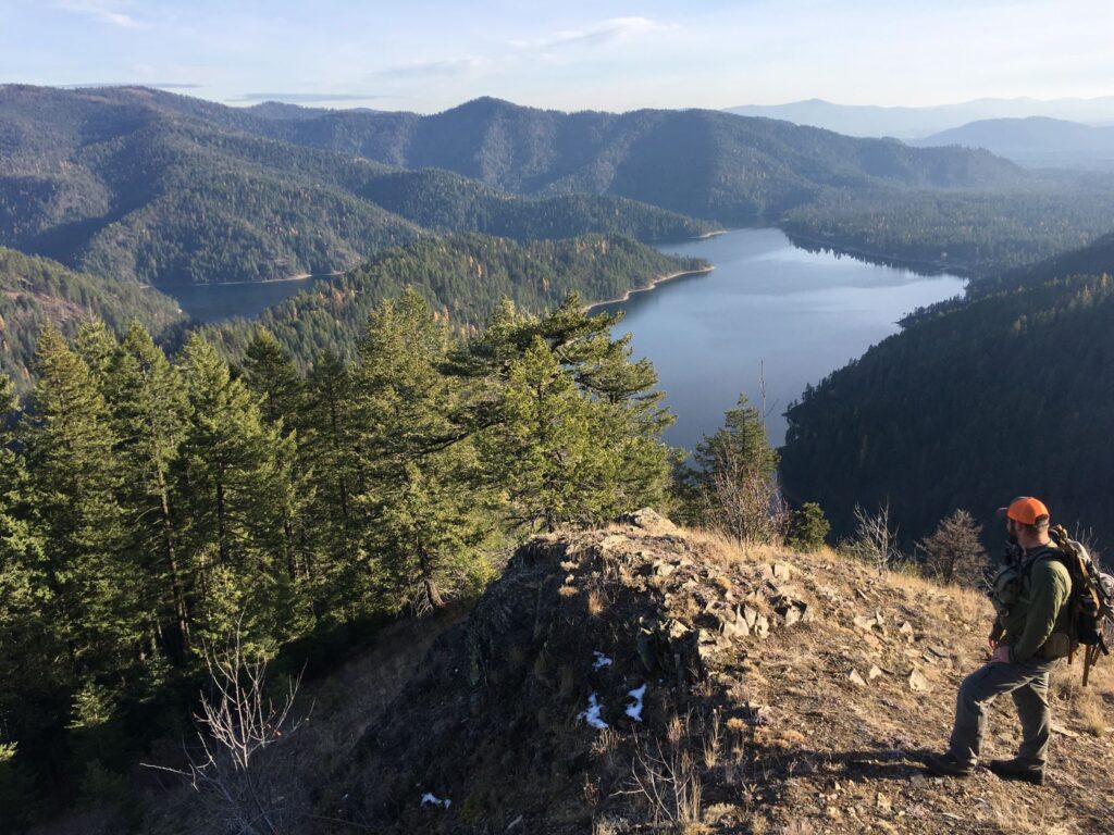
Secondly, the Trail Project is located on the Colville National Forest’s (CNF) Newport-Sullivan Lake Ranger District in Northeast Washington’s Pend Oreille County north of Newport. The project area consists of five large watersheds covering approximately 90,700 acres and surrounds the Reservation and other lands owned and managed by the Kalispel.
The project area is bordered by the Pend Oreille River on the west, the Idaho Panhandle National Forest on the east, and stretches to the southern boundary of the Newport-Sullivan Lake Ranger District. The north border follows the Middle Creek watershed’s north boundary.
Why is the Kalispel Tribe involved?
Along with requesting action on U.S. Forest Service lands surrounding their Reservation and surrounding communities, the Kalispel Tribe has contributed extensively to the project in multiple ways. The Kalispel Tribe of Indians shares extensive natural resource knowledge of the area by providing key specialists to participate in the interdisciplinary NEPA planning team.
Through grants and significant tribal funding, the Tribe was able to fill gaps for the project in the form of outside specialists to help support the planning process.
Finally, the Tribe has provided a representative to the Project Leadership Team and used their invaluable community network to engage members of the public.
What specific types of actions will occur in this project area?
This project includes a diverse array of prescriptions to improve the overall health of the watersheds that fall within the project area. Prescribed fire, commercial and non-commercial thinning, wetland restoration, aquatic organism passage, road maintenance and improvements, and road decommissioning.
There is also a prioritized list of recreation projects to improve the overall recreation opportunities in the area. The project that ranked highest is the Bead Lake Loop non-motorized trail project. This trail will be built with assistance from the Washington Trails Association (WTA).
Holly Weiler from WTA has been integral in the development of the recreation portion of this planning document. Without public participation and the collaboration of the Washington State Department of Natural Resources, United States Forest Service, and the Northeast Washington Forestry Coalition, a project of this size and scope would not be feasible.
Without this project, the landscape will fail to provide the safety, resources, and overall resiliency upon which tribal members and non-tribal communities depend.
To learn more about the Kalispel Tribe’s conservation efforts visit Knrd.org.
Find more news and recreation stories about the Kalispel Tribe or the Colville National Forest in the OTO archives.