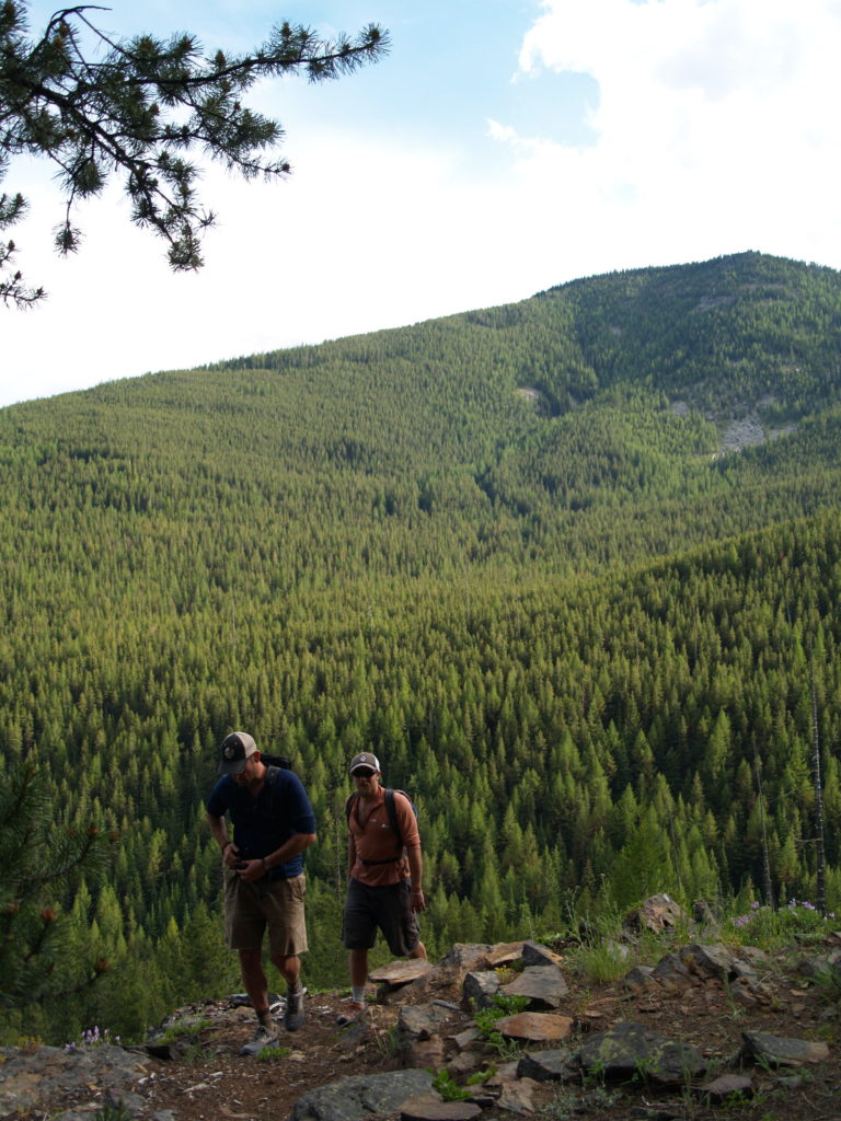
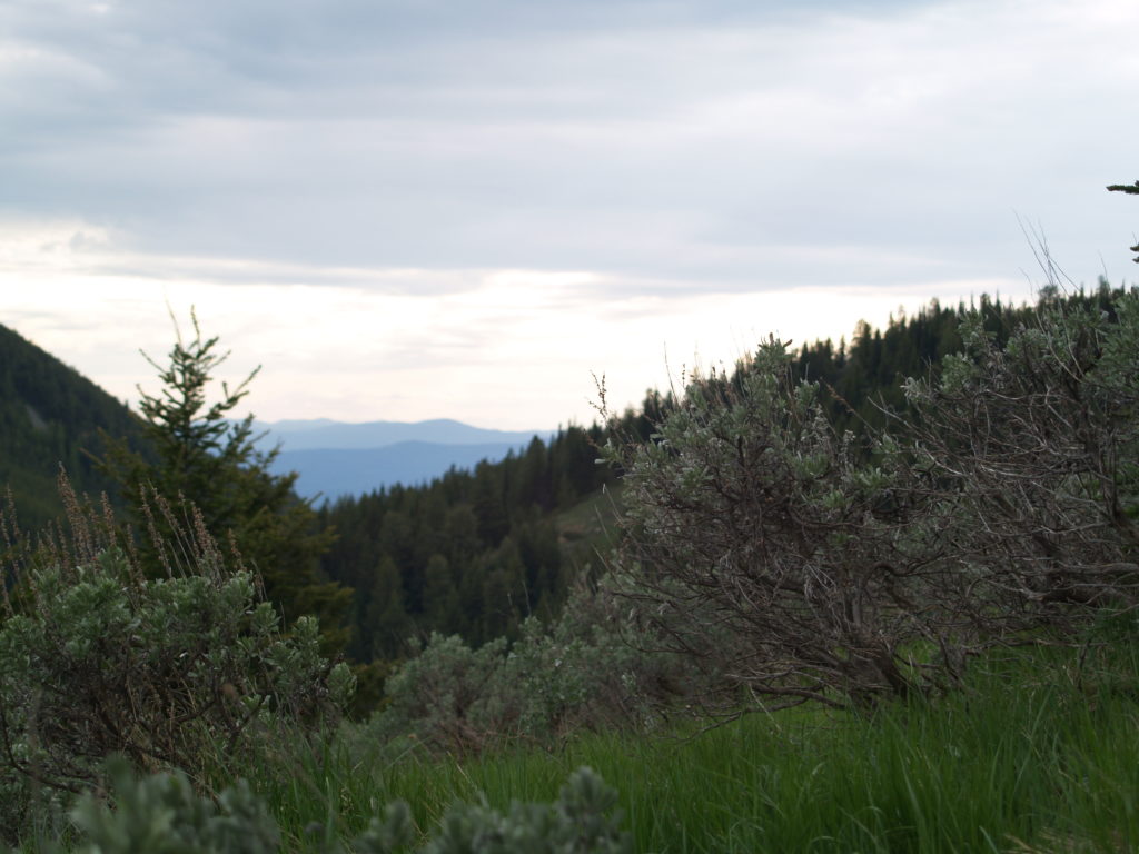
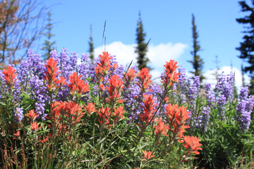
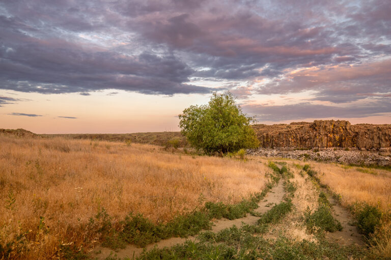
The Jungle Hill loop offers hikers the option of a strenuous day hike or a moderate backpack trip in the Columbia Highlands. On a typical August visit, hikers will be distracted by ripe huckleberries along the lower portions of the hike, and will enjoy colorful wildflower displays along the Kettle Crest. This hike can also be shortened to any length by doing an out-and-back in either direction or by leaving a car at Sherman Pass and hiking one way from Jungle Hill trailhead.

I typically begin my circuit at the Jungle Hill trailhead in order to get the majority of my climbing out of the way early in the hike, then eventually finish with a big downhill. The loop may be completed in either direction, but I generally hike it counter-clockwise so that I can linger in the best huckleberry patches on the Sherman Pass Trail at the end of the hike. For those who prefer to avoid driving on dusty Forest Service roads, it’s also easy to start this hike at Sherman Pass.
To try my preferred route, start by dropping down the hill from the trailhead and immediately crossing Sherman Creek. Then begin the switchbacking climb up Jungle Hill Trail #16, which makes up for its unrelenting ascent by having an interesting forest in its lower reaches and wildflower-filled meadows near the top. The trail is a little less than 4 miles but climbs approximately 2000 feet. The reward at the top is an old sheepherders’ camp with excellent access to a piped spring. It’s always recommended to filter, but this is the purest water source along the Kettle Crest.

From the campsite, continue south on the Kettle Crest Trail #13. The trail skirts around Jungle Hill first and then Columbia Mountain. The spur trail to the summit of Columbia Mountain is a great option for extending this hike. Pass rock outcroppings and aspen groves, and then descend to Sherman Pass. There’s an outhouse available at the parking lot at the pass, but to continue the hike cross the trailhead access road and continue downhill on Sherman Pass Trail #82. This trail passes the Sherman Overlook Campground, another alternate starting point for the loop for anyone who would prefer to car camp at this small campground just off the highway. The trail passes the campground and descends to Sherman Creek through multiple huckleberry patches. At the creek, a short uphill finish will return hikers to the Jungle Hill Trailhead.

Round-trip distance: 15.4 miles (much less for out-and-back options)
Rating: Difficult (full loop); moderate (out-and-back shorter options)
Elevation gain: 3348 feet (full loop)
Map: USGS Copper Butte and Sherman Peak
Getting there: From Kettle Falls take Highway 395 west across the Columbia and turn left on Highway 20.
Support local trails:Volunteer with WTA on a backpack trip to North Fork Sullivan Creek, Aug. 15-18, or help build a new bridge in Mount Spokane State Park in late August.
[Photos courtesy of Holly Weiler]


