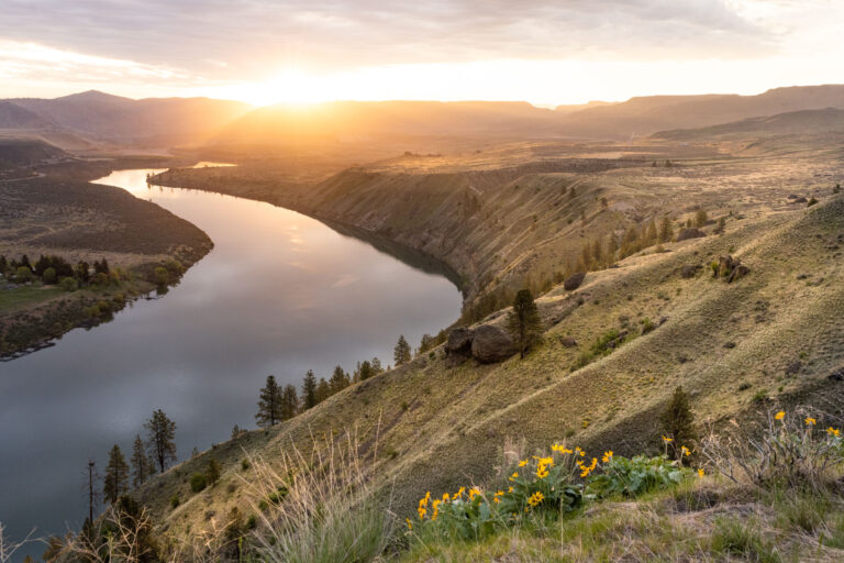
In the collective mind’s eye of America, public lands were born the day Yosemite became a public park in 1864, when president Lincoln deeded it to the State of California, or when president Woodrow Wilson established the National Parks Service in 1916. In reality, protected lands in the United States are managed by a broad swath of federal, state, county, city, and tribal authorities. Here is a quick primer in land designations to help make better sense out of which agency or municipality manages our favorite public lands.
Federal Lands
Department of the Interior—The DOI manages the country’s most famous land designation, the National Parks. There are many other DOI designations, including National Parks, National Monuments, National Recreation Areas, and National Preserves. Some of the largest DOI lands in the Pacific Northwest include Olympic National Park in Washington and Craters of the Moon National Monument and Preserve in Idaho.
Bureau of Land Management—The BLM is part of the DOI and manages one eighth of the country’s land mass, including areas like the beloved Owyhee River Wilderness. The BLM was formed in 1905 as a combination of the General Land Office and the Grazing Service.
United States Forest Service—The USFS is an agency of the Department of Agriculture that was founded under the Roosevelt administration. It manages vast swaths of public forests like the Selway-Bitterroot Wilderness, the Colville and Idaho Panhandle national forests, and much of the Cascade Mountains, including wild areas like the Glacier Peak Wildness.
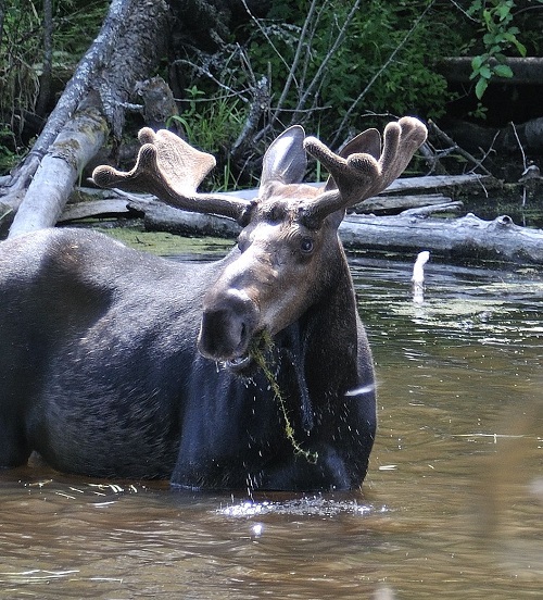
United States Fish and Wildlife Service—The USFW was created in 1956 to manage lands reserved for fish, wildlife, and their habitats. Inland Northwest lands managed by USFW include the Turnbull Wildlife Refuge and the Little Pend Oreille National Wildlife Refuge.
Wilderness Areas—A designated wilderness area is the highest level of protection that Congress can apply to any federally-managed land. Wilderness areas can be on Forest Service land like the Salmo-Priest Wilderness or on BLM lands, like the Juniper Dunes Wilderness.
U.S. Army Corp of Engineers—The USACE is responsible for federal engineering projects, military construction, and civil works. It also provides plenty of outdoor recreation at more than 400 lake and river projects in 43 states, like camping areas and water sports access at places like the Chief Joseph Dam (Columbia River) and Lake Pend Oreille (Albeni Falls Dam).
State Lands
Each state in the Northwest has agencies tasked with managing state lands, wildlife and habitat. Washington Department of Fish and Wildlife (WDFW) and Idaho Fish & Game protect their states’ fish, wildlife, and ecosystems while providing sustainable recreational and commercial opportunities. The Swanson Lakes Wildlife Area and Amber Lake are examples of WDFW land in Spokane County. Washington Department of Natural Resources (DNR) and Idaho Department of Lands generate revenue through logging while preserving forests, natural areas, and aquatic habitat.
State Parks
Washington State Parks (WSP) and Idaho State Parks provide opportunities to explore diverse natural and cultural heritage and recreational and educational experiences. The Spokane region is home to the two largest state parks in the system: Riverside State Park and Mount Spokane State Park. In Idaho Panhandle, Farragut State Park and the Trail of the Coeur d’Alenes offer a wide range of recreational opportunities.
Local Lands
Many county and city governments throughout the Northwest protect and conserve parks, trail systems, open space, and wildlife habitat. Spokane County manages some of the region’s most beloved recreation destinations, including Liberty Lake Regional Park, Dishman Hills Natural Area, and Fish Lake Regional Park. Spokane County’s Conservation Futures program leverages property tax levies to acquire and preserve open space. Areas secured by this program include Antoine Peak, Micah Peak, and hopefully more of Beacon Hill/Camp Sekani.
The City of Spokane manages dozens of neighborhood parks and is also responsible for managing recreation hotspots like the High Bridge Disc Golf Course, Camp Sekani, High Drive Bluff Park, and the John A. Finch Arboretum.
Tribal Lands
Several Native American Tribes continue to caretake portions of their traditional homelands, fish, and wildlife. Examples of recreation opportunities provided by regional Tribes include camping and fishing opportunities as part of the Spokane Tribe of Indian’s Shoreline Campgrounds system along the Spokane River; the Kalispel RV Resort in Cusick, Wash., run by the Kalispel Tribe of Indians; and the Parks and Recreation Department of the Confederated Tribes of the Colville Reservation that offers camping areas like the Lake Roosevelt Rogers Bar Campgrounds and Bridge Creek Campground. Please note that some tribal recreation areas are closed to the general public through the end of 2020 and many require permits.


