May 2017

Photo of National Geographic trail map.

National Geographic Montana Trail Illustrated Maps

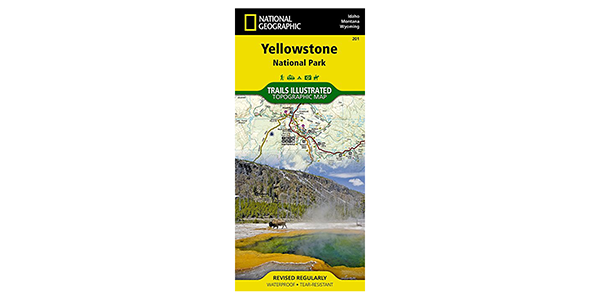
Planning an epic summer road trip to Big Sky Country will be a snap with National Geographic’s Trails Illustrated topographic maps for Montana.  With waterproof and tear-resistant maps covering areas like Yellowstone National Park; Glacier and Waterton Lakes National Parks; the Bob Marshall Wilderness Complex; Missoula and the Mission Mountains; Absaroka-Beartooth Wilderness; and Bozeman, Big […]

National Geographic Montana Trail Illustrated Maps Read More »

Photo of the Fish Lake Trail.

Fishtrap Lake Loop Trail Closer to Completion

After two seasons of work, including help from volunteer crews from Washington Trails Association, Backcountry Horseman of Washington, the Washington Conservation Corps, and Northwest Youth Corps, approximately 4 miles of the new Fishtrap Lake Loop west of Cheney, Wash., in the channeled scablands, is now built and open to the public. The entire segment connecting

Fishtrap Lake Loop Trail Closer to Completion Read More »

Photo of paddler on the Spokane River by Aaron Theisen.

What the River Says

The night after celebrating my son’s second birthday along the swift, milky-emerald current of the Spokane River, a bout of insomnia had me phone surfing about rivers, and in particular, the one that runs through our city. The late-night search was inspired by wondering why spending time along a free-flowing stretch of river always leaves

What the River Says Read More »

Scroll to Top