By John Bowman
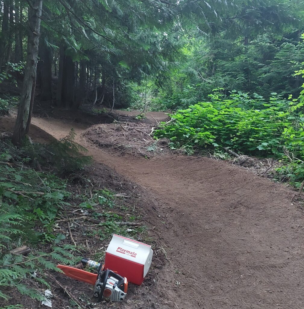
The StormKing Trails currently encompass just under 7 miles of singletrack and 4 miles of connecting logging roads for a total of just under 11 miles of trails to explore on the City of Rathdrum property on Rathdrum Mountain (once known as StormKing Mountain). With descending trails on both the west and east sides of the property, there are at least two nice descending routes back to the parking lot from the roads above, with numerous other trails connecting the whole mix. A kiosk map is in the works for the parking lot, and trail signage is partially complete and should be finished this spring. Enjoy this guide to the current trail network, with much more to come soon!
WESTWOOD LOOP NE
A fairly easy descending trail from the end of Skyline, also accessible from lower Frogspit via the fire road Timber Ridge Lane. About .75 mile long, with 300 feet of elevation change. It connects to the Story Walk Trail near the parking lot, so watch for hikers and use the little pull-out “courtesy zones” when you can to allow other trail users safe passage. A great route to take kids is up Storm King Parkway to Timber Ridge Lane, then down Frogspit back to the parking area. (Westwood Loop SW coming in the future to complete this loop.)
SKYLINE TRAIL
An intermediate flow trail which starts after a 3-mile climb up Storm King Parkway, with three distinct sections for a total drop of 500 feet over a little under 1 mile. Loop the upper section climbing back up the South Fork Passage to Storm King Parkway, then hit the steep middle section down to Timber Ridge Lane crossing to the lower section of Skyline, which can be looped via Frogspit back up to Timber Ridge Lane.
There is currently no climbing route for this middle section of Skyline back up to the top without looping back around Storm King Parkway. This middle section will be logged this summer and rebuilt with even more berms and will also allow an extension of Frogspit to introduce a new climbing route back to the top, which may also double as a green beginner descending route.
HI FREQUENCY
Fellow build partner Evan Frantz calls this a “Spicy Intermediate Trail” that begins another .3-mile up Storm King Parkway past the entrance of Skyline, just shy of the radio tower (belonging to the City of Post Falls). This trail merges into the lower part of the upper section of Skyline and encompasses 375 feet of descending in just about a mile. Note that there is an egress exit just above the Skyline entrance back to Storm King Parkway so that riders can loop the uppermost part of Hi Frequency, which has the exciting jumps and gaps. But don’t mess up the “Bowman’s Beauty Bark” mulch in the gaps of the jumps … ha, ha!
MAJESTIC PASSAGE
About 1.25 miles up Storm King Parkway, find the top of the Majestic Passage, a descending trail following the North Fork of Spring Branch Creek down through the disc golf course back to Barrett Drive, just below the parking lot. This route experiences about 325 feet of drop overall, in just over 1 mile. The top of this route is right across from the Monarch Trail, and is “spicier” at the top, before a mellow creekside ramble along the bubbling waters of Spring Branch Creek. It joins with some of the original volunteer-built trails on the bottom half.
MONARCH TRAIL
This is a pretty cool intermediate XC trail that goes all the way from the Skyline Trail over to the Majestic Passage. Total length is about 1.3 miles, with some sneaky switchbacks on both the west and east ends, not to mention three cleverly sculpted bridge crossings over the creeks. Expect about 175 feet of undulating ups and downs on this trail, and notice the view (from the west end above the switchbacks) looking down at the junction of Timber Ridge Lane with the Skyline Trail . . . pretty cool!
A popular route option is to ride Hi Frequency and Skyline down to Monarch, then take that east to the Majestic Passage Trail. Due to the rocky ravine on the east end, yes, there is one short steep climb before its end, but after you grunt up that, it’s a .3 mile downhill to Majestic Passage, allowing for an even longer total descent. Plus … that cool jump/berm option between the creek bridges!
OTHER TRAILS
In addition to the trails above, other shorter connective trails currently include Reservoir Ridge, East HawkHaven, South HawkHaven, West HawkHaven and the two existing sections of Frogspit, above and below Timber Ridge Lane. These provide about another .75 mile of miscellaneous (mostly beginner) connectors to create your own loops however you want. Some of these shorter trails will be machine-improved after summer logging is complete, adding pathways to future trails yet to be built in the long-term vision of the StormKing system.
DESCENDER’S DELIGHT
For those riders who live for gravity-induced euphoria, pay your dues and climb the 3.75 miles up Storm King Parkway to the Post Falls radio tower and catch your breath. Then reward yourself with the short jaunt down to the top of Hi Frequency, where it morphs with Skyline, and continue descending to sweep the jumps and berms into the top of Westwood Loop NE (careful on the bridge).
After more descending, veer left down below to avoid the Story Walk Trail (no bikes allowed) to stay on Westwood Loop NE and come out to one of two options: 1. Stay straight on West HawkHaven and cut across Storm King Parkway to take East HawkHaven to the very bottom of Majestic Passage; or 2. Take the right-hand “S” curve near the end of Westwood Loop NE to the parking lot driveway and cross that over to South HawkHaven for that last little jaunt back to Barrett Drive. Both routes end up at the same point, and then you just climb a short way back up the pavement to the parking lot. Either option provides over 1,000 feet of descending over 2 miles! Please do not ride recklessly and be courteous to other trail users at all times!
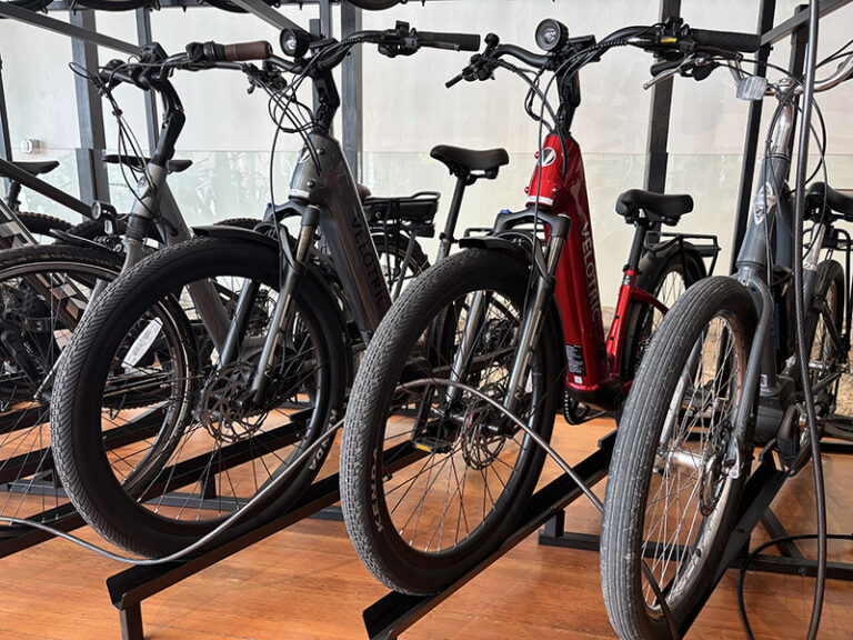
John Bowman is the owner of Mountain View Cyclery in Hayden, Idaho, and the designer/builder of the StormKing Trails and the Empire Trails near Spirit Lake.