In the depths of winter our Spokane County Parks can provide a nature fix without requiring difficult drives or complicated parking permits. These local parks just keep getting better, too. The Glenrose addition to the Dishman Hills Conservancy is a fairly new park, acquired in 2012. Over the relatively few intervening years, the Dishman Hills Conservancy and Spokane County Parks have partnered with local recreation groups to improve the trail system, resulting in a nice trail located just east of Spokane’s South Hill. A new parking lot was opened to the public in November 2018, making access to the area easy.
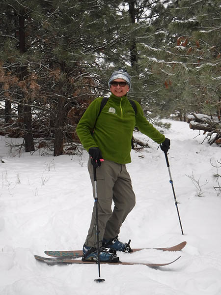
Glenrose can support a wide variety of non-motorized recreational uses. Winter may find the trail system snow-free for the easiest exploration. If we do have snow on the ground, there are times when a set of Yak Tracks or micro-spikes are all that is necessary to provide adequate traction for the improved trails. If Mother Nature decides to send a snowstorm or two to the lower elevations around town, Glenrose is especially beautiful with a fresh coating of snow and can be toured on snowshoes, a fat bike, or even on skis. The only time it’s a poor winter hike is if we end up with a mid-winter warming trend and rain; please give the soft-surface trails a rest if they are especially muddy.

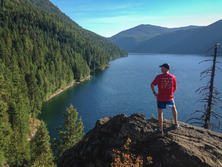
The Glenrose trail includes both open grassy hillsides and thickly wooded trail sections. Sometimes the sheltered wooded sections hold snow and ice longer than the exposed grassy slopes, so be prepared for ice even if the first part of the trail is melted out. From the open portion of the trail near the power lines, visitors can enjoy an excellent view of nearby Tower Mountain and the Iller Creek Conservation area located to the south. Continue out to the end of the Cliffs Trail, where the Spokane Valley is located just below, and the view includes Mount Spokane to the north and Mica Peak to the southeast.
Turn back at the end of the Cliffs Trail, as this is the end of the conservation area, which is surrounded by private property. Retrace your steps to the parking lot. Consider planning this hike to conclude near sunset, as the return hike leads west and the evening light over the South Hill can be spectacular.
Round-trip Distance: 5.5 miles and 1,500 feet elevation gain
Rating: Moderate
Map: See Spokane County website
Getting There: From I-90, take the Freya Street exit (#283B) and travel south on Thor to 29th. Turn east on 29th Ave. and continue to Glenrose Road. Turn south on Glenrose and continue to 37th Ave. Turn east on 37th and continue to Eastern Road. Turn south on Eastern, which winds east and becomes 44th Ave. Turn north on Thierman Road and proceed .5 miles to the new parking lot. //
Holly Weiler is a life-long resident of the foothills who has turned her outdoor passion into a vocation. She is Washington Trails Association’s Eastern Washington Regional Coordinator, helping Spokane’s army of volunteers build and maintain our favorite Eastern Washington trails. She writes the Hike of the Month column in every issue of Out There.


