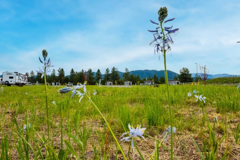
Shortly after getting off-route on a backcountry backpacking trip in northcentral Idaho, I heard about Topo Maps+, a backcountry navigation and mapping app developed by 45-year-old Spokanite Stephen Johnson. Talking with him, I learned that the Topo Maps+ app was built to be a simple navigation solution for people like me who would rather be spotting wildlife than plotting waypoints on a screen when they’re out in the wilderness. But it still has all of the features and layer options that make it a powerful app for special data and mapping needs. It’s effective for hiking, mountain biking, hunting, backpacking, back road driving, and even backcountry skiing and snowshoeing, thanks to a slopes layer that can help identify quality skiing and potential avalanche terrain.
Before developing Topo Maps+, Johnson, an avid hiker and backpacker, use to worry about getting lost on his adventures, and then he did. “I got lost up by Priest Lake at night in the snow on snowshoes after trying to cut off the trail. Totally lost. I’m not even sure to this day where we were,” Johnson recalls. He had read a lot about backcountry navigation at that point and used his compass to head due west and eventually made it back to a truck. “This was pre-iPhone and got me thinking about a GPS.” Not long after that, Johnson was at Apples’ development conference when the new iPhone came out with a GPS built in. That’s when he knew he had to develop a mapping app.
Eventually, what would evolve into the Topo Maps+ app became Johnson’s full-time job in 2017. In addition to all of the usual on- and off-trail backcountry adventure sport uses of the app in disconnected environments with no cell service, Johnson says the app is also widely used by park rangers and wildland firefighters.
Topo Maps+ has an interactive map for the Apple Watch too. “It’s especially useful in the winter so you don’t have to dig out your phone. You can just navigate from the watch,” Johnson explains. While there are a lot of competitors out there, Topo Maps+ is one of the best options for those who primarily want a simple, functional navigation tool, plus it has the benefit of being a local company. “We focus on the maps and navigation,” says Johnson. “We have all of the trails, but navigation is our main focus. What we do really well is give people the tools to plan their own trips, on and off trail. We don’t just provide a canned trip.”
The app is also really good for people, like me, who don’t like using apps all that much. “You can do the planning in the app and then print out these really great maps and use them with a compass while you’re out there and just use the phone as a backup,” he adds. This is always the best bet, since phones can and do die, but paper maps persist when kept dry.
Topo Maps+ has three different feature level tiers between $25 and $70 a year to choose from. Learn more at Topomaps.co.
Derrick Knowles