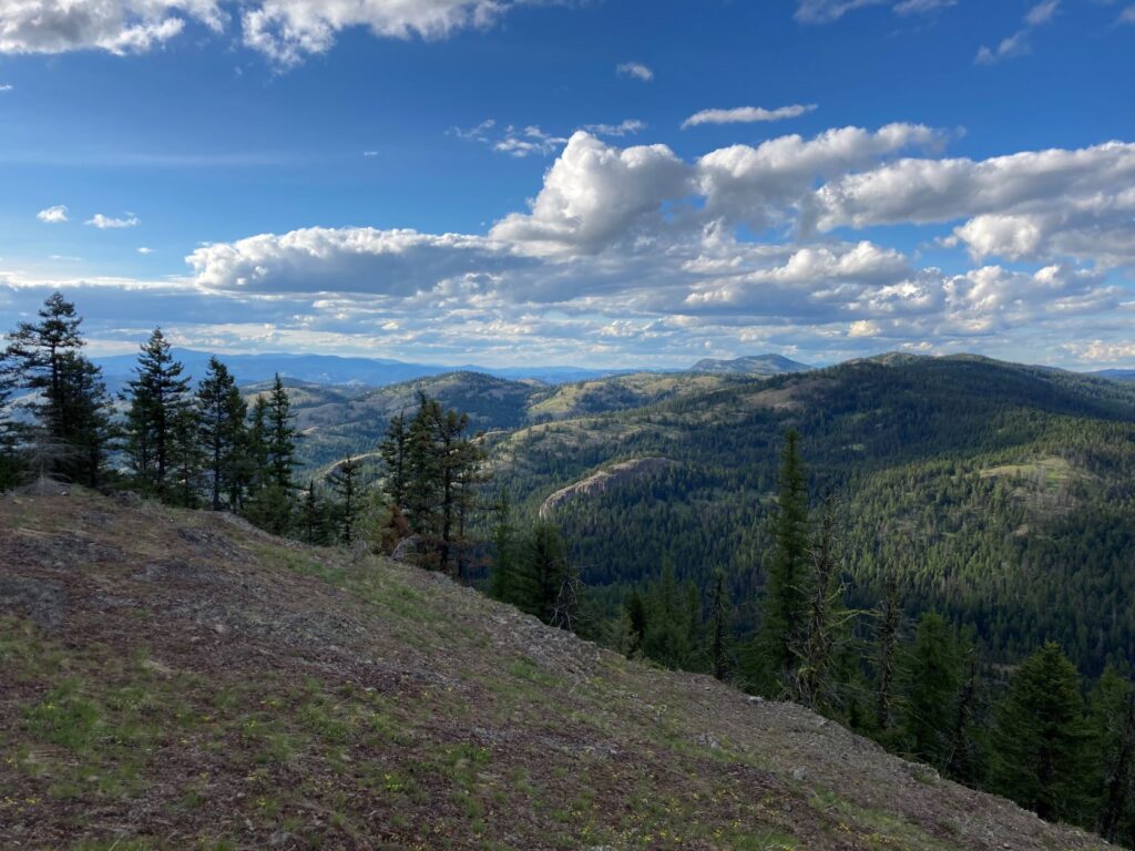
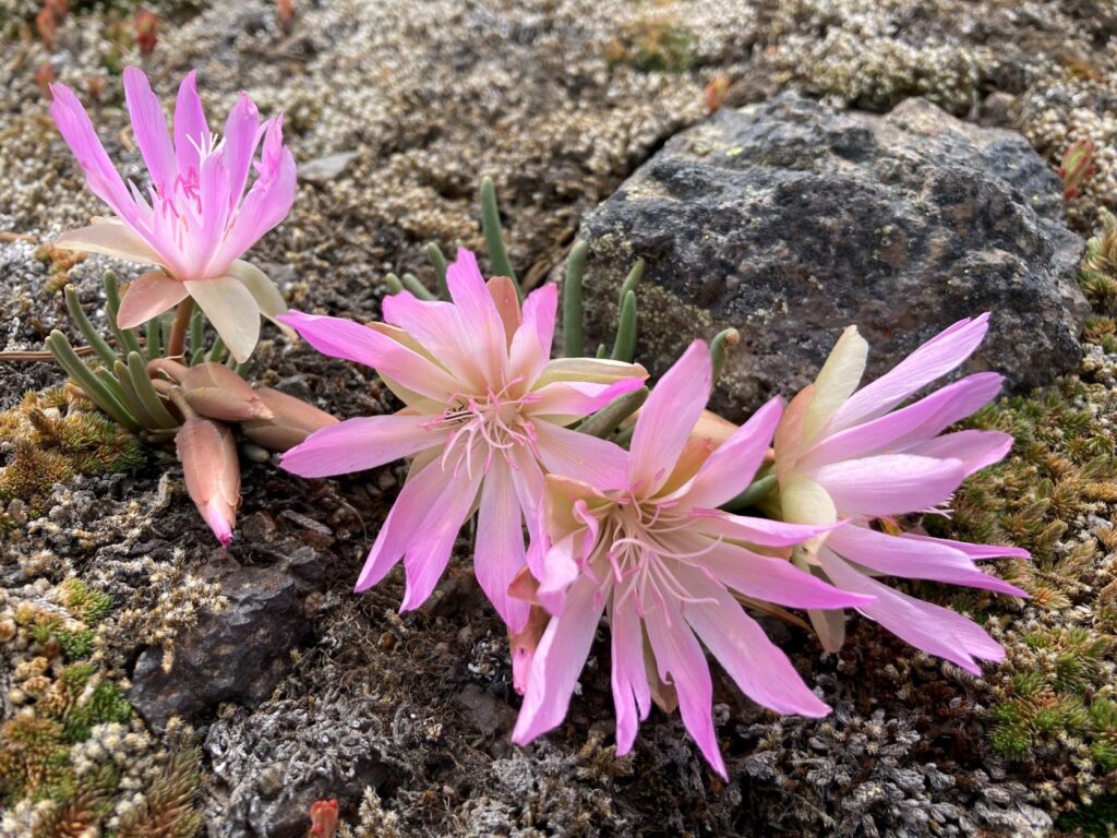
Sweat Creek Basin Trail in northeast Washington, with a trailhead less than 10 miles from the town of Republic, Wash., leads to a peak on Maple Mountain in the Okanogan Highlands. Enjoy wildflowers, such as arrowleaf balsamroot, Calypso orchids, and bitterroot, and marvel at distant views of Canada.
The Sweat Creek Basin Trail to Maple Mountain is an excellent spring day hike with good options for turning it into a backpacking trip. The first portion of the trail from the Sweat Creek Picnic Area to Hunter Spring (4.5 miles) is on the official route of the Pacific Northwest Trail. Those who would like to turn a visit here into a backpack trip may want to consider continuing north on the PNT route, but a nice day hike option is to turn off to the east at Hunter Spring and continue out to Maple Mountain.
The trail to Maple Mountain is not as well-maintained, and some route-finding skills may be necessary, but the trail traverses through mostly open forest and is blanketed with wildflowers in the spring. The benchmark for Maple Mountain is not on the highest point, but is instead on a third subsidiary peak with a bald top that boasts fantastic views to the northeast.
This area will see multiple trailwork crews with both the Pacific Northwest Trail Association and Washington Trails Association this spring, so consider joining one of the project days as part of your visit here. Know that the area is open rangeland, and cows may be on the allotment beginning in early June.
The full hike is 14 miles round-trip and includes 3,000 feet of elevation gain. The hike to Maple Mountain via the Sweat Creek Basin Trail should be considered moderate from the trailhead to Hunter Spring, and then more difficult due to less maintenance on the Maple Mountain Trail section.
Getting there
The Sweat Creek Picnic Area is located on the north side of Highway 20 at 8.7 miles west of Republic, Wash., or 31.8 miles east of Tonasket. A paved road to the turnoff and a well-maintained gravel parking lot make this an easily accessible backcountry route. The trail starts just behind the CXT toilet.
Find more hiking destination ideas and recommendations in the Hike of the Month column.


