Cover photo courtesy of Holly Weiler
Fall is the ideal time to plan a trip to the Wallowas. The majority of the downfall has been removed from the trail system, and trail crews will have done as much tread, brushing and drainage work as possible in the backcountry. The biting insects generally disappear after the first overnight frost, which comes early at this elevation. And the fall colors begin in early September and improve right up until first snowfall. Meanwhile, the majority of backpackers have already put their gear away in anticipation of winter’s arrival, which is their loss. But it means the end-of-season hikers have little competition for the very best campsites on the most popular routes within the Wallowas.
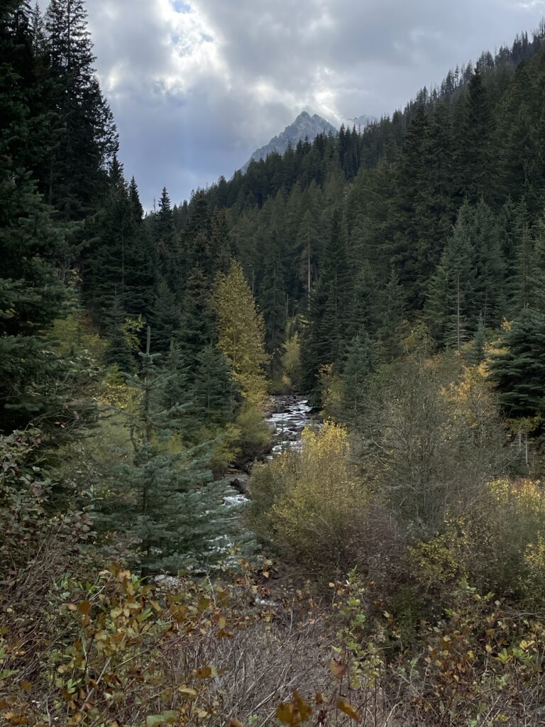
An end-of-summer trip always requires paying a little extra attention to the forecast in case of snow’s early arrival, but the beauty of hiking the West Fork Wallowa Trail in the fall is that it is accessible directly from the pavement, so getting to the trailhead is a breeze. I recommend turning this into a backpacking trip to the Lakes Basin, but it’s also easy to plan this outing as a shorter day hike, with several excellent options in terms of distance and elevation gain on trails that branch off the main trail. Wallowa Lake State Park is a good car camping option, or you can book a hotel in nearby Joseph.
For the recommended backpacking trip, start at the Wallowa Lake Trailhead (4,770 feet elevation) adjacent to the Little Alps Day Use Area. This site boasts a rare paved parking lot for a wilderness trailhead, with water and flush toilets available while overnight temperatures allow. Begin by hiking up the West Fork Wallowa Trail. Backpackers have some great choices to consider as they reach an intersection with the Ice Lake Trail at the 2.5-mile mark. At 4.4 miles from the junction to Ice Lake, this is even within the typical mileage range of most day hikers, although the elevation gain to Ice Lake (which sits at 7,900 feet) is worth factoring into plans.
On my most recent visit, I opted to skip Ice Lake in favor of trekking all the way to the Lakes Basin, turning off at Six Mile Meadow. Campsite options are numerous within Six Mile Meadow, although I decided to ascend an additional 2.5 miles to camp at Horseshoe Lake on the first night of my trip. I visited in October and enjoyed the first snow flurries of the season on a trip where nighttime temperatures dropped into the upper 20s, but daytime temperatures reached the 50s.
From Horseshoe Lake, it’s a short distance to the main Lakes Basin and there many more hard decisions to make based on the number of days one has available to explore, along with distance and elevation gain desired. My hardest decision was to bypass my favorite lake, Glacier, in favor of camping at Mirror Lake. Mirror is arguably the most popular of all the lakes in the Lakes Basin, and on my October visit I scored the best campsite on the lake with no other visitors within sight. It also put me at a prime location for adding on the side trip to the summit of Eagle Cap, where I could gaze down on Glacier Lake as well as take in the rest of the vast landscape. Other campsite options include nearby Moccasin, Douglas and Lee Lake.
Getting There: Travel to Joseph, Ore., and continue south through town on OR 351 to Wallowa Lake. The road continues on the east side of the lake to Wallowa Lake State Park. Take a slight left onto Power House Road to continue to the Wallowa Lake Trailhead. Wilderness permits are free and self-issued at the trailhead.
Holly Weiler is the Eastern Washington Region senior coordinator for Washington Trails Association, but is currently on sabbatical and conducting research for the 2nd edition of “Day Hiking Eastern Washington” with Craig Romano!