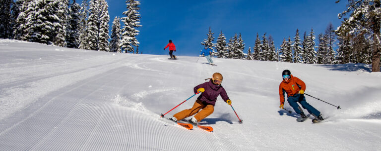
I am one of those guys who tries to take a “glass is half full” view on things, especially when it comes to winter recreation. As such, I rarely check the snow report before heading to the mountain for a very simple reason. It doesn’t matter. It really doesn’t matter if it’s a powder day or a groomer day. What does matter is that I am going skiing, so as long as the lifts are running, life is good. If the conditions turn out to be primo, then it’s a bonus. Either way, it’s a good day in the mountains.
With that being said, the word on the street is that the Northwest might see a return of El Niño this winter, which typically means above average temperatures and below average precipitation. Now before all of you skiers and riders out there start freaking out, let’s keep in mind that this forecast is for the Pacific Northwest in general. What could potentially occur here in our part of the region might be totally different. I once attended a winter forecast presentation at NOAA’s headquarters in Seattle, and their weather guru said accurately forecasting weather for the mountains of northeast Washington was challenging, and often very different from that of the rest of the state. Let’s hope that is the case this season. Take a look at the following summaries of this season’s predictions – and keep thinking the glass is half full.
NOAA
Seems you can always count on the government to lead the charge with negative vibes. According to NOAA’s Climate Prediction Center, “El Niño is favored to begin in the next 1-2 months and last into the Northern Hemisphere through spring 2015.” Above average temperatures combined with below average precipitation can be expected. Ok, so that sounds bad. “A weak El Niño event is most probable, but a strong El Nino event is not likely to occur this year.” That’s better – let’s hope for the best.
Farmer’s Almanac
For our neck of the woods, the Farmer’s Almanac has a little bit different spin than the Debbie Downers at NOAA. Although temperatures are expected to be above normal for our area, the Almanac is predicting that precipitation will be above normal. Factor in a little elevation and a slight temperature drop in the right direction, and you get the magical white stuff dreams are made of. Additionally, the Almanac is predicting that early/mid-December and mid-February will be the coldest and snowiest periods, which is perfect for an early opening and mid-season off-piste skiing and riding.
OWSC
The Office of the Washington State Climatologist is basically parroting the forecast from NOAA. “The outlooks are reflecting the expected development of the El Niño in the coming months. The temperature outlook has increased chances of above normal temperatures for the entire state, and the chances of warmer than normal temperatures are greater west of the Cascade Mountains. For precipitation, there are increased chances of below normal precipitation statewide.” Whatev….
My 2 Cents
Having spent a few years as a snow farmer, I have an idea as to how this is all going to shake out. First off, I predict a normal opening for our local resorts, like around the first weekend of December. This will be followed by good to very good conditions for the holiday period. January will be mostly dry (as usual), with normal temps. February and March will be the months that bring the powder dumps we all live for, and I foresee several weeks of “epic” conditions that lead into early April. Now, here is the science behind my prognostications. First, I found a very large, hairy caterpillar in one of our bark beds this summer. Second, we experienced a wicked fire season this year. And third, one of my co-workers chose NOT to purchase a season pass this year, threatened to take up cross-country skiing and bowling, and stated he would pay full price for a season pass if Old Man Winter did actually decide to pay us a visit. I say bring it, Old Man Winter. If you can make it, I have a half full glass of beer with your name on it. Think snow. //

