The following hikes—which range from family-friendly routes to more challenging—offer fun ways to explore autumn in the great outdoors, with fall color views to boot.
Glenrose Unit of Dishman Hills
“One of the best places to hike in the fall is the Glenrose Unit of the Dishman Hills,” says Jeff Lambert, executive director of the Dishman Hills Conservancy. The 5.5-mile hike begins from the only paved Conservation Futures parking lot.
“Commissioner Mary Kuney advocated for the use of real estate excise tax money to build this fabulous trailhead. It is also equipped with lights and cameras. Scalliwags will be identified and embarrassed if they do harm at this trailhead,” Lambert quips.
Trails were designed and built by trail master Lynn Smith of the Spokane Mountaineers and are “heartily approved” by Spokane County Parks, which also operates the trailhead.
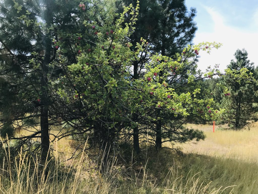
Lambert provides the perfect description of the hike: “The result is a gently sloping trail that winds through mature forest and across meadows with views over Spokane and then the valley and into Idaho…Wildlife abounds with moose, turkeys, coyotes, and birds of all types. The fall colors are punctuated with a few apple trees with delicious fruit. The pay-off comes at the cliffs about 2.7 miles from the trailhead. The three stairstep cliffs provide an overlook with views from Mt. Spokane to Mica Peak and Iller Creek. Soon enough, the Cliffs will connect all the way to the Dishman Hills Natural Area, allowing an even longer route north to Appleway.”
The Glenrose Trailhead is located at 3701 S Thierman Road. Visit Dishmanhills.org for trail maps and information about guided hikes with local experts.
Mica Peak Conservation Area
“Mica Peak is a relative newcomer as Spokane County Conservation Areas go, but it has recently seen the largest addition and most concentrated new trail development in the whole county,” says Todd Dunfield, community conservation program manager with the Inland Northwest Land Conservancy. “This addition connected Liberty Lake Regional Park to the existing 900+ acre Mica Peak Conservation Area for a staggering 5,300 acre public park.”
Dunfield suggests a 4-mile loop with approximately 850 feet of elevation. Starting from the Belmont Trailhead (20002 E Belmont Rd) on the west side of the conservation area, take the lower road to the right immediately out of the parking lot.
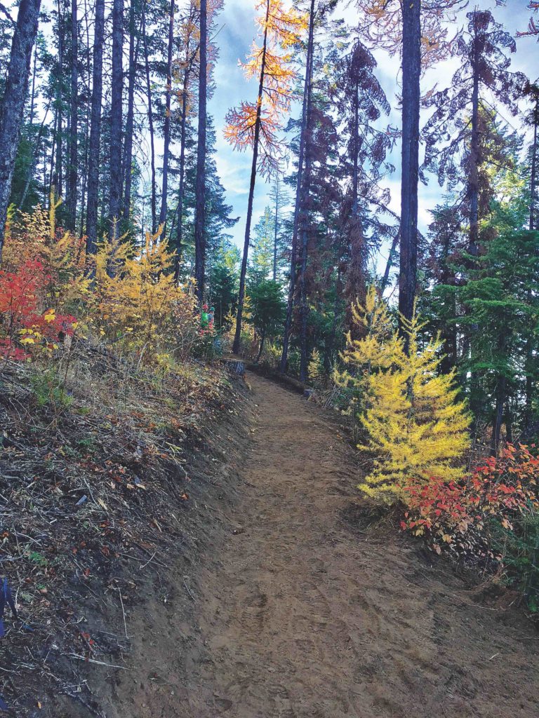
“Hiking this loop counter-clockwise has hikers going across an old cattle guard and up along an old Department of Natural Resources logging road for just over a mile. The hiking will be steep at times, and you will need to turn left a quarter of a mile after the big dead ponderosa tree across the road,” Dunfield advises. “From here hike another 600 yards to some open views of the valley below before turning right on another logging road that will take you up into the trees and onto new singletrack switchbacks. These jog back and forth over a narrow area as they ascend to a large pile of round rocks on the main road. Go left (north) on this main road, and it will begin descending and eventually turn left and lead you back to the trailhead. Additional signage is scheduled to be installed on this trail system this fall to help with wayfinding.”
Trail map at Spokanecounty.org.
Finch Arboretum
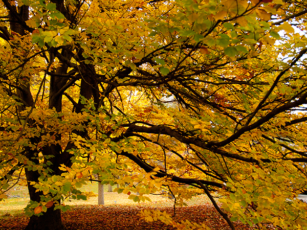
With 65 wooded acres covered in ornamental trees, shrubs, and flowers, the Finch Arboretum (3404 W Woodland Blvd) is an easily accessible gem just minutes from downtown. The gentle slope makes this a fun fall destination for families or anyone who wants to catch a burst of fall color. Follow the walking tour around the perimeter.
Map available at Spokanecity.org.
Knothead Trail
“If 7 miles of hiking with almost 1,400 feet of elevation gain doesn’t sound like too far to go for wonderful views, then the Knothead Trail is perfect for you,” says Dunfield.
Park at the Indian Painted Rocks Trailhead (5626-5742 W Rutter Pkwy). Head west on the trail, paralleling the Little Spokane River.
“Please note that dogs and mountain bikes are not allowed and Discover Passes are required,” advises Dunfield. “At 1.75 miles the trail makes a hard right and crosses a paved driveway access road before heading uphill steeply. This climb has brief moments of flat areas before climbing again. This trail has optional overlooks hikers can visit by turning right near the top of the climb. Or, hikers can continue out to the north for another mile to an amazing viewpoint before turning right and descending a series of large switchbacks that will bring hikers to a valley floor and lead them in a southeasterly direction back to their cars at Indian Painted Rocks.”
For more info, check out this hike on wta.org.
For more destination ideas for fall hiking, visit the OTO archives.
