The most difficult part of this hike is getting to the trailhead, as the forest service (FS) road to the beginning of the trail is especially rough. Large swales to improve water run-off might prove impossible for all but high clearance 4WD vehicles, so consider parking lower on the access road and hiking or utilizing a mountain bike to gain the final few miles to the trailhead. If you ride, be sure to pack a lock to chain the bike near the trailhead, as the trail to Mollies Lake and the Mollies is not suitable for cycling.
The second most difficult aspect of this hike is negotiating the poorly maintained trail. The views from the top will be worth the effort, but at the beginning, lush vegetation obscures the trail tread on the way to the lake. Fortunately, the trail is short, and a September visit promises the reward of ripe huckleberries along the route, sweetening the deal enough to make beating back the bushes worth the extra effort.

At approximately the one-mile mark, the trail reaches a junction with Mollies Lake to the right, and the summit path to the left. The lake is marshy, so the recommended route is to bear left and continue to the summit for the superb views. The trail to the top is braided and unmarked, so pick a route as best as possible, continuing ever upwards to the high point on the ridge.
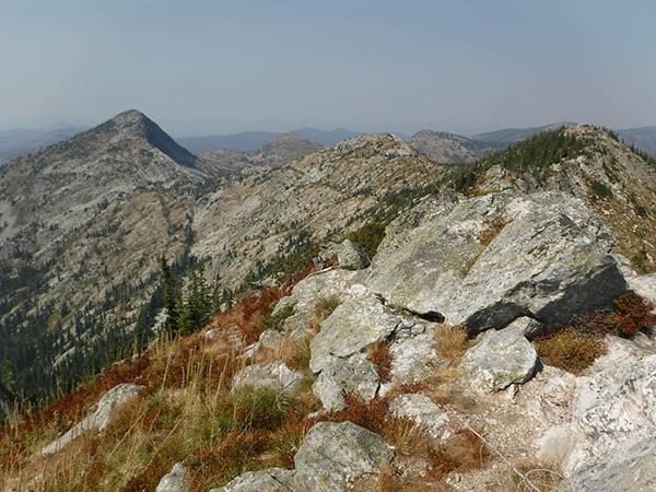
At the summit, turn around and take a moment to admire the view of Priest Lake to the south. To the west, the Shedroof Divide is visible just across the border in Washington. The Mollies was the site of an L-4 fire lookout tower from 1934 until 1949. The remains of the tower were destroyed in 1968, leaving just the concrete footings as a good place to sit and admire the view. This is the turn-around point for the hike, although strong hikers with scrambling skills may want to continue northwest on the ridge toward Phoebe’s Tip.
The hike is short enough to make it an excellent day trip, although heavy on the required drive time for anyone making it round-trip in a day. With a few backpack campsite options along the route, and excellent car camping opportunities at nearby Priest Lake, this trip can also easily be extended into an overnight.
RT Distance: 3.9 miles with 1,800 feet of elevation gain
Rating: Difficult
Map: USGS Caribou Creek, Grass Mountain
Getting There: From Priest River, Idaho, travel north on Highway 57 toward Priest Lake. Turn right on the Dickensheet Highway toward Coolin, then right on Cavanaugh Bay Road to East Shore Road. Continue along Priest Lake to the northern end of the lake. Continue on East Shore Road once it passes Lions Head Campground and leaves the northern end of the lake and follows Caribou Creek. Turn north on FS 46, continuing 1.7 miles to the narrow road on the right that marks a small dispersed campsite and the trailhead for the Mollies. Park in the wide spot along the road.
Give Back to Your Trails: Participate in the National Public Lands Day by joining a trail work party with Washington Trails Association and the Bureau of Land Management on September 29. //
Holly Weiler is a hiker, backpacker, trail runner, and skier. She writes the Hike of the Month column for every issue of Out There.
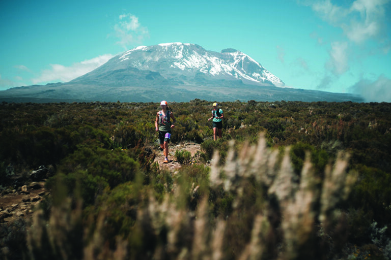
[Feature photo: The difficult parts are just part of the adventure // Holly Weiler]


