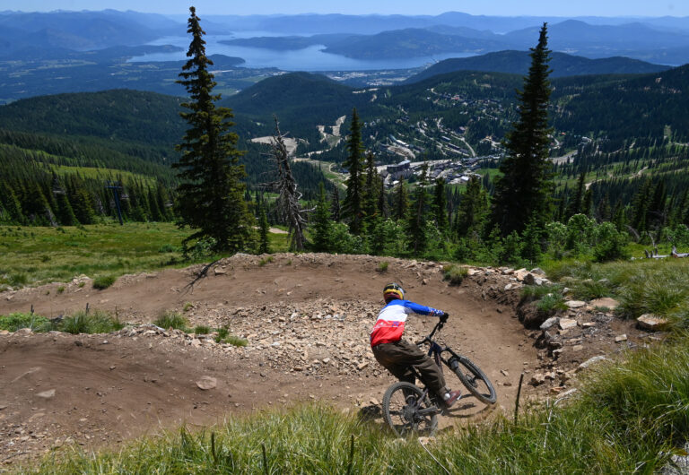
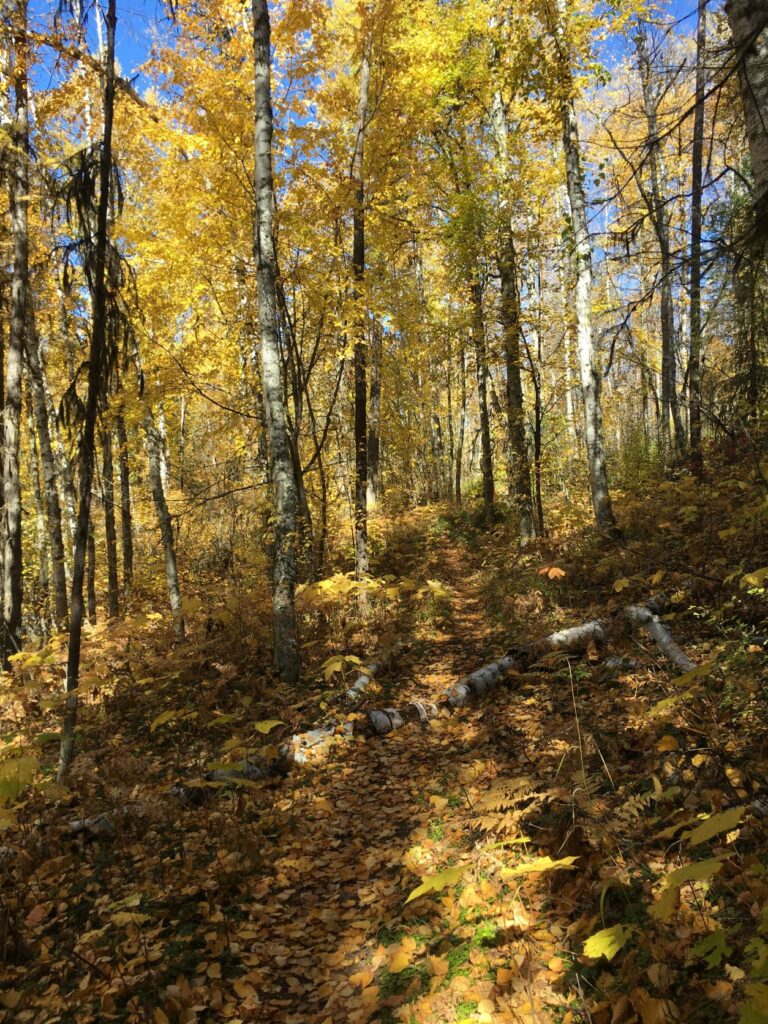
Much of the fall color fireworks may have peaked by the time you read this, but these forested trails offer plenty more than dazzling foliage, from remote solitude and close-to-town adventure to sagebrush and sub-alpine scenery.
Fall is hunting season, so before you visit any public land area, check the local wildlife hunting calendar. For safety, be sure to wear bright orange or pink on the trail. (OTO)
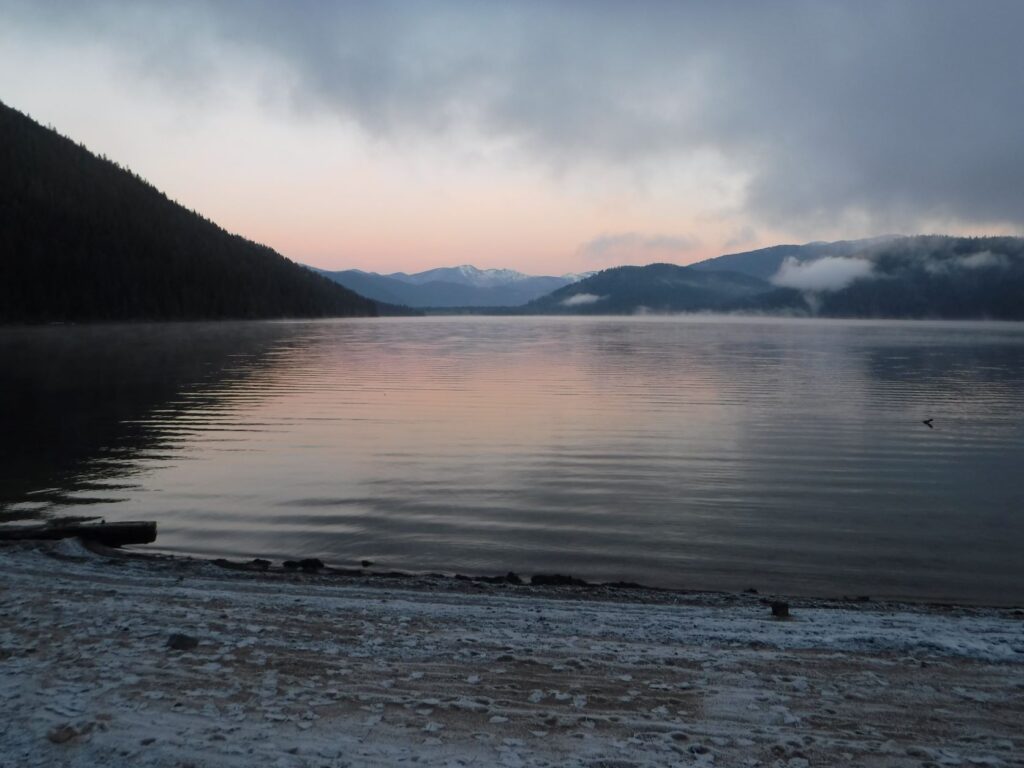
Fishtrap Recreation Area (Sprague, Wash.)
Fishtrap Recreation Area boasts 9,000 acres of recreational land managed by the Bureau of Land Management. The main Fishtrap trail system has three major access points and contains a looped trail system totaling nearly 9 miles.
This area is easily accessible from I-90, where the beauty of the landscape far surpasses what one might expect while looking out the car windows.
The well-marked North Loop Trail is located on Fishtrap Lake Road just west of the Fishtrap Resort. Follow it past vernal ponds and wetlands, copses of trees and shrubs, mima mounds, and basalt outcroppings.
Extend the visit by adding on the South Loop Trail, which includes a kolk carved by glacial lake Missoula floodwaters and cliffs overlooking Fishtrap Lake. Rarely does this trail receive enough snow to require snowshoes or traction devices.
Midnight Mountain (Republic, Wash.)
Midnight Mountain is located just northeast of Republic on Lambert Creek Road. This hike can make an excellent out-and-back trail on its own, connecting to the Kettle Crest National Recreation Trail in 4.1 miles.
It’s also easy to combine Midnight with a short hike south on the Kettle Crest Trail and then connect via the nearby Old Stage Road #1 Trail to return to the parking area in an approximately 10-mile loop.
Midnight boasts some of the largest western larch in the area and offers sweeping views to the west and even north into Canada. This hike is classic Kettle River Range, with everything from large old growth trees to open grassy meadows and clumps of sagebrush.
It is open range land, so watch for cattle and be sure to treat all water. Snowshoes may be required as fall turns to winter, so be sure to inquire on trail conditions with the Colville National Forest.

Little Pend Oreille National Wildlife Refuge (Colville, Wash.)
The Little Pend Oreille National Wildlife Refuge has several trails from which to choose, along with miles of hiking behind refuge gates. The Old Timers’ Trail is a challenging option, although only from the standpoint of locating and navigating the route, which is completely unmarked.
Get there via the Buffalo-Wilson Road off Kitt-Narcisse Road at an unsigned pull-off beneath the powerlines. The out-and-back trail consists of a mixture of singletrack and old road beds and is lightly traveled, making it an excellent place to watch for wildlife. The forest boasts both western larch and aspen groves, along with many low-growing native shrubs.
In the event locating the Old Timers’ Trail proves too difficult, the Mill Butte Trail is an excellent alternative. The parking lot is at the park headquarters and the 4.2-mile trail begins just across the road.
Sullivan Lake (Metaline Falls, Wash.)
Sullivan Lake boasts a large, National Forest campground at either end and is a popular summer camping destination. In the fall the campgrounds close for winter, and it becomes a quiet destination for fall color hikes.
The Sullivan Lakeshore Trail is one of the main attractions in the area, with one trailhead at Noisy Creek Campground on the south end of the lake, and another near the boat launch at East Sullivan Campground. In the fall it may be necessary to park near the campground gates and hike to access the trailheads.
The lakeshore trail is 4 miles one-way and can easily be shuttled for groups with access to two vehicles. The trail has fantastic views of the lake and passes through aspen groves that will likely have lingering fall colors.
Other nearby options for exploration include the Noisy Creek Trail at the south end of the lake, the restoration area around the former Mill Pond site just north of Sullivan Lake (including barrier-free interpretive trails), and Elk Creek Falls.
Blossom Lake (Murray, Idaho)
Blossom Lake is an easy-access alpine lake accessible from just off the pavement at Thompson Pass on the Idaho/Montana border. The lower lake is a 6.4-mile roundtrip hike with numerous options for extending the outing.
At 1,300′ elevation gain, it is a relatively easy hike through a forest featuring many western larch. To extend the main hike, continue on trail at Blossom as it ascends higher up the basin to Upper Blossom Lake.
Additional hikes are also accessible from the same trailhead parking area. Revette Lake has its own access trail but is located just one basin west of Blossom Lake.
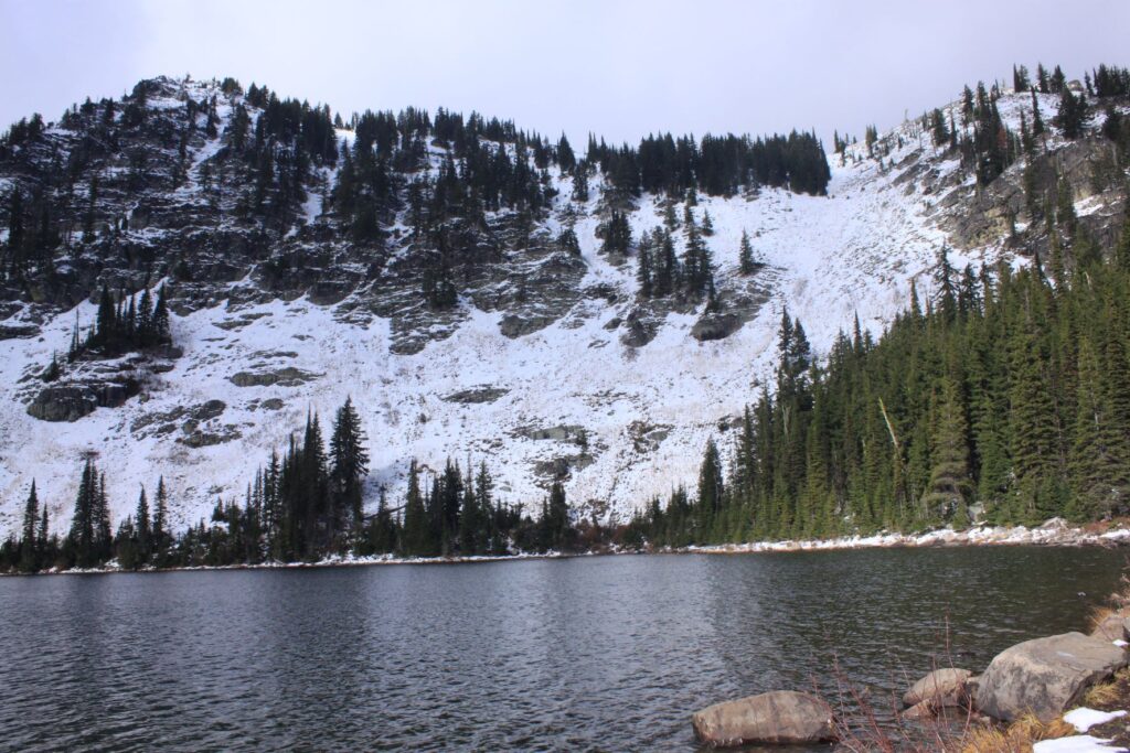
Just across the road from the parking lot is access to the Idaho Centennial Trail, the 1,311 mile-long distance hiking destination that can be sampled here. Do check road conditions for this hike before leaving home, however, as the road will be closed by the first major snowstorm of winter. Snowshoes or traction devices may be required.
Upper Priest Lake (Nordman, Idaho)
Fall is the ideal time to visit Upper Priest Lake. The majority of the motorboats have been placed into winter storage and the main campgrounds close, making the usually busy area quiet and peaceful. Access to both Upper Priest and the north end of the Lakeshore Trail remains available from the Navigation Trailhead at the USFS Beaver Creek Campground until the snow becomes too deep.
For a forest experience, hike the Navigation Trail to Plowboy Campground on Upper Priest for a 6-mile roundtrip hike. This trail is mostly flat and deeply wooded, and fall mushrooms can be a main attraction. The trail doesn’t access the water until reaching Plowboy, an excellent turn-around spot.
For more lake access, hike the Lakeshore Trail instead. It starts just south of the boat launch and extends 7 miles along lower Priest Lake. It also has sections that stay within the trees, but it has frequent access to shoreline along the main lake.
In the event winter snows prevent access to Beaver Creek Campground, it is generally still possible to access the southern end of the Lakeshore Trail for an out-and-back hike from that location.
Holly Weiler is a long-time contributor to Out There, and provides each Hike of the Month.