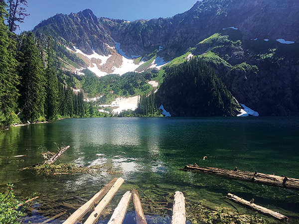
Outside St. Regis, Montana are two beautiful lakes that are worth taking the time to explore. Diamond and Cliff Lakes are perched in an alpine cirque basin at 5,400 feet in Montana’s Bitterroot Divide. This moderate hike has only 500 feet of elevation gain and some of the best scenery in the area. Yet, sadly, I have no pictures of it. Seriously, none. But first, let me describe this gem perched high in the Bitterroot.
The trailhead and parking area is at Diamond Lake. The out-and-back trail will take you up to Cliff Lake, a total of 2.8 miles roundtrip. The trail rims the edge of Diamond Lake and then begins to ascend through thick grass and brush.
The views of Diamond Lake and the surrounding peaks are amazing, the kind that make you stop every hundred feet along the trail, turn full circle, and revel in the beauty surrounding you. You cross several creeks along the way. The bridges are worn but stable. The waterfall along the creek made for a nice stop where the kids could cool their feet and rest.
You eventually make your way up to Cliff Lake, an amazingly clear snowmelt lake that still had a good-sized snowfield next to it in mid-July. It is not the most pleasant for swimming unless you are a polar bear. Yet like most snowmelt lakes, it was amazingly clear and picturesque. Make sure to take the trail to the wetland meadow at the far side of the lake. On cooler, moist days bug spray will come in handy.
There are two small spots for overnight camping at Cliff Lake and four suitable spots with fire pits near the trailhead of Diamond Lake. Campers be advised, this is primitive camping; there is no water, and only one vault toilet at the trailhead. If you’re in the mood to swim, Diamond Lake is warmer but has more sediment and logs near shore.
Now, about the pictures. So, in the four days of camping, hiking, and rafting prior to doing this hike I took the most incredible photos of my life. The best scenery, the best angles. Then I cannonballed into Diamond Lake.
My enthusiasm at getting cool and clean was short-lived when I realized, with a wide-eyed look of horror, that my iPhone was in my pocket. The potential titles for this piece began to zoom through my head: “Amazing pictures lost in one woman’s attempt to get clean,” or alternately, “How to lose the best photos you’ve ever taken.”
Because those photos were downright amazing. And there is no way for you to prove me wrong now that my iPhone is a water-logged mess drying out in the backroom of the Apple store. So just trust me, the photos you’re seeing of this place don’t do it justice. Go and see it for yourself. And if you get any amazing photos, please forward them to me.
Getting There
From Interstate 90 near St. Regis, Mont., take the Dry Creek exit (#43), and turn south on the Dry Creek Frontage Road 69. Follow Road 69 to the junction of Dry Creek Road 342. Turn west onto Dry Creek Road and drive 9.5 miles to the junction of Diamond Lake Road 7843. This well-maintained gravel road is suitable for passenger cars. Turn south and drive 4.1 miles to the parking area next to Diamond Lake. Trail #100 starts on the west side of the bridge. // (Crystal Atamian)
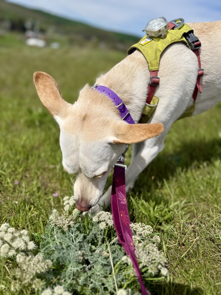
[Feature photo by Brian Floyd.]