A Trek from the Top of Mount Spokane to Rathdrum Mountain and Back
By James P. Johnson
Cover photo courtesy of James P. Johnson
I’m not sure when I first pondered hiking from Spokane’s namesake mountain to Rathdrum’s. As a frequent cross-country skier at Mount Spokane, the open west slope of Rathdrum Mountain in the distance, a bare field of snow in winter, is an appealing sight for a backcountry skier such as myself.
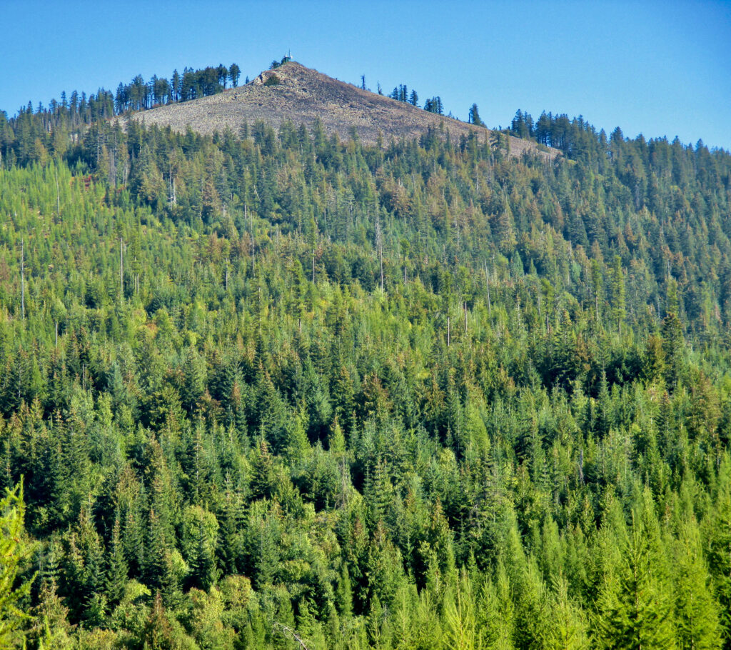
Unlike Mount Spokane (5,887 feet), Rathdrum Mountain isn’t in a state park, has no downhill or cross-country ski area or paved road to the top and only recently saw the addition of a trail system added lower down the mountain. At 5,003 feet, it long attracted my interest, but was a hiking mystery to me. I didn’t know anyone who’d hiked it. I didn’t know whether you could. After my prolonged procrastination, I worked up some initiative.
Route Recon
In the summer of 2025, I visited City of Rathdrum-owned StormKing Trails, a natural area at the edge of town that features a new system of mountain bike trails and some hiking trails to do some recon for my trek. Starting at the StormKing Trails got me part way up Rathdrum Mountain, but to reach the top I had to leave the natural area and take an indirect route using logging roads and plenty of off-trail bushwhacking.
Reaching the summit and eyeing the landscape between the two peaks, I saw my hoped-for hike would be a tough go. The two summits are only 10 miles apart, as the crow flies, but it’s much farther by foot. The Idaho part is comprised of Idaho Department of Lands and Inland Empire Paper Company land that’s managed for timber production but allows hiking and some other public access with a permit. It’s a maze of logging roads, and there are no trails, camping areas or signage. Few people would choose to hike or backpack here.
The largest state park in Washington at 12,444 acres, route planning for the Mount Spokane State Park leg of my ambitious hike was easy as I’m quite familiar with it; however, after crossing the border into Idaho, the area would be largely unknown territory. There’d be a lot of ground to cover too. I used a couple of apps, hoping they’d show an expeditious route, but that turned out not to be the case. The peak-to-peak, out-and-back route looked to be almost 50 miles. Hoping to do the hike in two days, there’d be no way if I had to cover that much ground.
Since the only “trails” are logging roads that were built to reach already-logged forests or stands of uncut trees that will be harvested in the future, it’s no wonder the suggested route to Rathdrum Mountain was so far from direct. Using a few app suggestions and off-trail shortcuts identified while hiking, I hoped for a more direct route even though off-trail hiking can range from slow to very slow. Even with shortcuts, I recognized the hike would take at least three days instead of two.
With the emphasis on timber production rather than recreation, the only people I might run into would probably be forest workers, not fellow hikers. I ruminated that in order to fit in, I should wear a plaid shirt, suspenders, and have a chainsaw tethered to my backpack. I didn’t really do this, but it gave me a chuckle.
The Hike
On a warm, mid-September morning with a good weather forecast and three one-day Inland Empire Paper Company permits downloaded to my phone at $4.26 each, I parked my car at Mount Spokane. Simply parking my car had caused a delay in my undertaking. Vehicles left overnight will be towed, and it’s possible you’d be considered lost or in distress, triggering a search and rescue mission.
I had resigned that the solution was parking at the only campground in the park at $80 for three nights of “camping,” close to what I recently paid at a parking garage in downtown Seattle for a similar duration. Then I remembered I knew a couple with a place at Snowblaze, a private condominium complex just below the Mt. Spokane ski area. They gave me permission to use their parking permit, which I needed to have in my vehicle to not get towed in the condo parking lot.
Since my goal was peak-to-peak, I had to hike to the top of Mount Spokane from my car at the condos, an 1,800-foot elevation gain. Arriving at the summit and Vista House, I used my camera timer to take some starting photos. A bicyclist I saw in the rearview mirror in the flatlands where Forker Road merges with Mt. Spokane Park Drive arrived and offered to take photos for me. We had a brief chat—he’d ridden to the summit from Liberty Lake in three hours.
I took a trail down to the cross-country ski area and made my way to the Nordic ski trail to Quartz Mountain, following it to its intersection with a trail that leads to Ragged Ridge, a protected natural area in the southeast corner of the park.
After a lengthy descent, I had another uphill climb and then a long traverse along the ridge. For about a mile at the southernmost part, the eastern boundary of the park dips into Idaho. It’s an unusual situation—you can cross into Idaho, yet still be in a Washington state park.
At the southern park boundary, marked by a makeshift fence, I turned east through the woods. Poring over maps in preparation, this seemed a good place to enter Idaho. A not-so-steep bushwhack would bring me to an old logging road. This worked out, and the road wasn’t so overgrown to make walking difficult. But after a short way, it abruptly ended—this wasn’t supposed to happen. Knowing of another logging road farther downhill, I went off-trail again, hoping for an easy bushwhack. It was not.
The woods were thick with tall brush—multi-trunked Douglas maple and alder that made going slow. My backpack, loaded with gear for three days of camping, kept snagging limbs and small-diameter trunks, requiring backtracking and side-stepping to unsnag. With downed trees an added obstacle, especially large ones full of branches that were too high off the ground to climb over, I had to make time-consuming detours. It took long enough that I found myself wondering if I was right about a road being down below. When I eventually reached it, I was very relieved.
The walking was easy now, but it was late afternoon, and I was on Inland Empire Paper land, where camping is prohibited. I still had a few miles of walking to reach Idaho Department of Lands (IDL) property where camping is allowed.
I came to several road junctions. For the first time while hiking, I was using my phone for guidance. I still had doubts at some junctions, but without it, I would’ve had no idea which road to take.
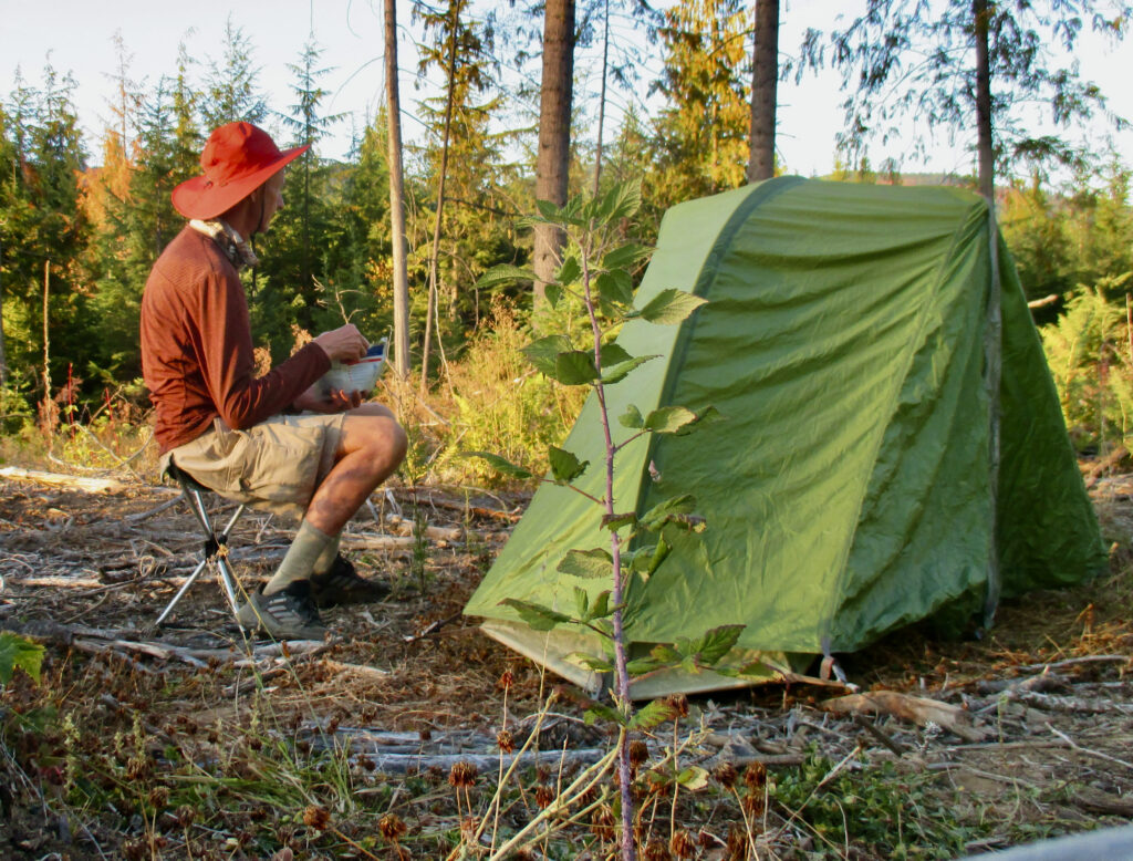
The thickly wooded, steep terrain was a worry because I wasn’t seeing any good camping spots. As darkness was taking hold, I finally came to an adequate spot on IDL land. I pitched my tent and prepared supper by the light of my headlamp.
Typically, when backpacking, my first night is the worst for sleep. On top of that, beginning at 3:15 a.m., a nearby procession of loud, clangy, logging trucks, one about every 15 minutes, rumbled past. I became aware of two facts—I was apparently very close to Inland Paper property, and empty logging trucks bouncing down bumpy gravel roads make a lot of noise. Their comings and goings prevented further sleep. I relied on my headlamp again to eat breakfast.
Just after packing up camp and heading out, I passed a road gate with IDL signage. My 10 hours of hiking yesterday had brought me just far enough.
Like the day before, my route for the second day of hiking was mostly on meandering logging roads. One abandoned road became less defined the further I went until it rivaled off-trail hiking. Weighing whether to backtrack or forge on, I was happy to finally arrive at an intersection with a much better road.
Eventually I reached a point where I could see Rathdrum Mountain. It didn’t look so far off, but as morning turned into afternoon, it seemed I hadn’t gotten much closer. I worried I’d underestimated the time needed and that reaching the summit wasn’t doable in my three-day time window.
I followed an old logging road to the back side of Rathdrum Mountain that unexpectedly ended. Google Earth showed skid roads heading up from here, but the image must’ve been years old—there were no roads at all. Faced with a bushwhack again, I was favored by an old clearcut with 20-foot larch saplings and brush only knee- to thigh-high. Upslope I went until reaching the rough summit road. Twenty minutes later, I was atop Rathdrum Mountain.
I celebrated by sitting in the shadow of a small building that houses communication equipment to eat a snack. A UTV was parked nearby—I was very surprised someone was working inside. When he exited to fetch something, I got up and made myself known, causing him to jump in surprise. Composing himself, he welcomed me. We had a short conversation about the purpose of the building.
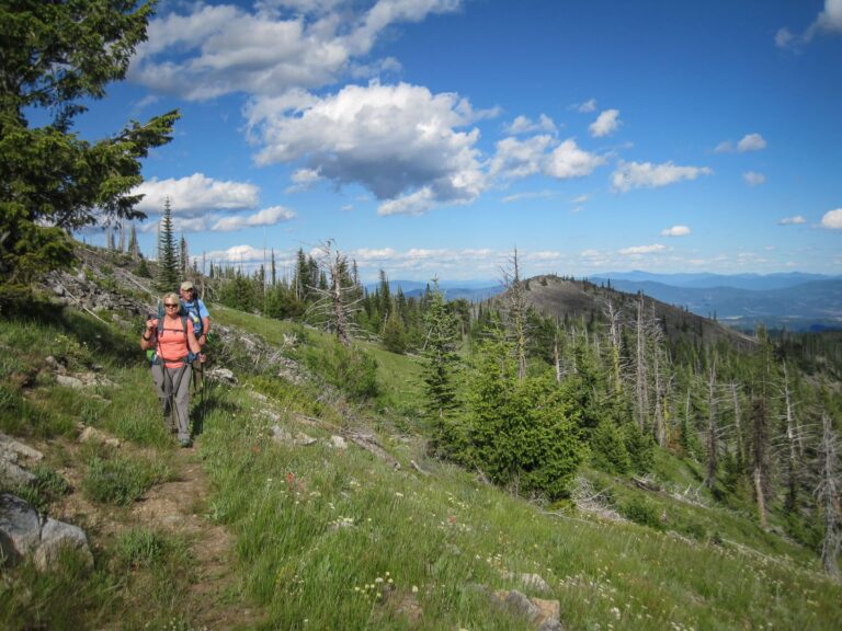
Despite haziness caused by wildfire smoke, I was impressed by views of the Rathdrum Prairie south to Coeur d’Alene. I also surveyed the landscape hoping to decipher a different route for going back. I was able to do this, and it saved time as well. I spied a flat spot in a clearcut on IDL land before sundown, and enjoyed my dinner without needing a headlamp. It was Friday night, and I crawled into my sleeping bag hoping the logging truck drivers’ union had a Saturdays off provision. I slept much better and heard nary a truck. Kudos to the union.
My last day was a long traipse across Inland Paper land to Ragged Ridge. I did my last off-trail bushwhack to reach the ridge top where my mood unexpectedly improved. Walking through protected forest in contrast to worked-over, industrial logging land has a positive effect on the psyche.
I followed the same route as before until crossing, instead of taking, the Quartz Mountain Nordic ski trail. An old, unmaintained trail goes to the top of Horse and Quartz mountains, subsidiary peaks of Mount Spokane. It’s more direct and not a former road like the ski trail. I imagined I’d save time, but it turns out I have a poor imagination. Sections of the trail were hard to decipher, and there was a lot more uphill hiking than I remembered. It took longer, but I made it to my car before dark.
My shortcutting reduced the total mileage, but not by much—I covered over 48 miles. It was gratifying to finally accomplish a long-held goal…and it gave me an idea for making a fortune. If I can return to the spot where I camped my first night and make a recording, you’ll never have worries about oversleeping with my new alarm tone for smartphones—Loud, Clangy, Logging Truck Rumbling Past.
James P. Johnson is the author of “Spokane and Coeur d’Alene Freshwater Shark Attacks,” a history of area landmarks told with a humorous, made-up version followed by the actual one.