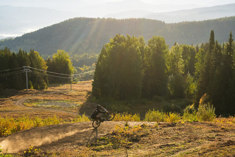
As the snow begins to pile up in the high country, try one of the closer peaks for some last-chance hiking before it’s time to dust off the snowshoes. With two trailheads and numerous route options, the 1,100-acre Antoine Peak Conservation Area rewards hikers with views of the surrounding valley within the first mile. Choose a short out-and-back to enjoy the scenery, tackle the loop trail to increase the mileage, or head directly to the top for 360-degree views. This property provides a wildlife corridor along the southern end of the Selkirk range, so watch for deer, moose, and even elk along the way (note: there’s no hunting allowed within the Conservation Area, but it’s still prudent to wear blaze orange if hiking during hunting season). Keep little hikers entertained by visiting geocaching.com prior to a planned hike to download coordinates for the numerous geocaches on the property. Along with some trade items, pack the thirteen essentials. Be sure to print a copy of the trail map from Spokane County’s website, then get out and enjoy the last of the fall colors. The area is open for hiking, mountain biking, and horseback riding and is dog friendly (leash required). There are up to seven miles of roundtrip hiking options.

Getting there:
East trailhead: From I-90, take Barker exit #293. Drive north on Barker Road to Trent Avenue, then east on Trent to Campbell Road. Go north on Campbell 1.6 miles to Lincoln Road, then west on Lincoln for approximately one mile to the trailhead. (GPS = N47_43.530′ // W117_10.109′; TH elevation = 3,173′.)
West trailhead: From I-90, take Pines exit #289. Drive north on Pines to Trent Avenue, then east on Trent to Evergreen. Go north on Evergreen, which will turn into Forker Road, for approximately 2.5 miles to the intersection with Bigelow Gulch and Brevier Road. Turn east on Brevier and travel approximately one mile to the trailhead. (GPS = N47_43.261′ // W117_11.806′; TH elevation = 2,634′).
View and print a map from the Spokane County website: Spokanecounty.org/data/parksnrecreation/conservationfuture/pdf/AntoinePeakConservationAreaReduced.pdf. //


