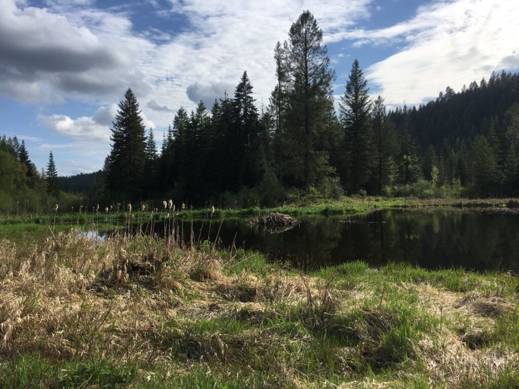
Most widely known as Rustler’s Gulch, this lovely spring hike is a portion of the West Branch Little Spokane River Wildlife Area. The best access point is from the Holly Road Trailhead west of Highway 2, which allows for a lollipop loop with a mix of double- and single-track trails.
Begin on a double-track section that drops down to the wetlands. At the one-mile mark watch for an unmarked left-hand junction onto single-track heading north, noting the dilapidated barn across the wetland to the east marking the return route. The trail winds through the forest along the edge of the wetlands for the next two miles before intersecting an alternate access point and additional trailhead at Horseshoe Lake Road.
Turn right, rejoining a double-track trail section as it heads southeast around the wetland, then bends south. This section is parallel to the hike up, but with increased views of the wetlands along the way. At the 5.5 mile mark the trail returns to the drooping barn, most safely viewed at a distance. Return to the same double-track trail as the start and climb a final mile through the lovely shaded forest to return to the parking area.
Total distance is 6.5 miles with 850′ elevation gain for a moderately difficult hike. Discover Pass required.