NOTE: THE ENTIRE KETTLE CREST AREA OF THE COLVILLE NATIONAL FOREST HAS BEEN CLOSED DUE TO WILDFIRE ACTIVITY!
Although I highly recommend completing the full length of the Kettle Crest, this shorter out-and-back sampler takes visitors to the Crest’s highest summit in a more manageable 6-mile, round-trip distance. The route includes the historic Old Stage Road Trail #75, the final remnant of Washington’s first cross-state “highway” in 1892. The route was officially abandoned in 1898, but horse-drawn stage coaches are still allowed in case you happen to own one. Otherwise, visit on foot and gain over 1,500 feet of elevation to Copper Butte’s summit, the sixth highest peak in Eastern Washington.
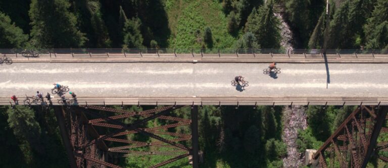
The gentle grade of the Old Stage Road begins in a lodgepole pine forest from a trailhead that boasts a small free campground. The views begin to open up to the north within the first mile. When the Old Stage Road crosses Kettle Crest Trail #13 at the 1.6 mile mark, hikers will need to turn south and begin the steep final ascent. The trail switchbacks up Copper Butte’s flanks where scars still remain from when the mountain was charred in a 1994 blaze, leaving behind standing silvery snags. Visit early in the month to find the best wildflower displays beneath the skeletal remains of trees in the burn zone.
Those who persevere through the steep climb are rewarded with some of the best views along the Kettle Crest. The summit is the site of a former lookout tower, although rusting debris is all that remains of the 1921 cupola cabin. Ladybug swarms can often be found on the summit rocks, and the views invite hikers to linger and take it all in. Retrace the same route on the return, or study the maps to try some of the longer loop routes that are possible from the same trailhead. The hike distance roundtrip is 6 miles. The hike is best for hikers, horses and wagon teams (no joke). It’s also open to bikes but isn’t a very bike-friendly trail. Dogs are allowed, although with wolves and bears in the area, leashes are recommended. //
Getting There: Take Highway 395 north of Spokane through Kettle Falls. Cross the Columbia, then bear west on Highway 20. Continue just over 18 miles, then turn north on Albion Hill Road and continue approximately 7 miles to the trailhead for Old Stage Road.
Give Back to Our Trails!
August 1 is Washington Trails Day and there is a Washington Trails Association trail work party at Mt. Spokane. On August 21-23, WTA has a backpack-style trail work party on the Shedroof Divide in the Salmo Priest Wilderness. Sign up at wta.org/volunteer/east.