Hiking through history on a basalt canyon trail in Central Washington
Cover photo courtesy James P. Johnson
By James P. Johnson
Douglas Creek Canyon is 23 square miles of BLM land in an isolated area between Coulee City and Wenatchee. I’d heard of it, but never visited until this year. There are few amenities, but no fees or passes are required. One amenity is an access road; however, you have to drive through water.
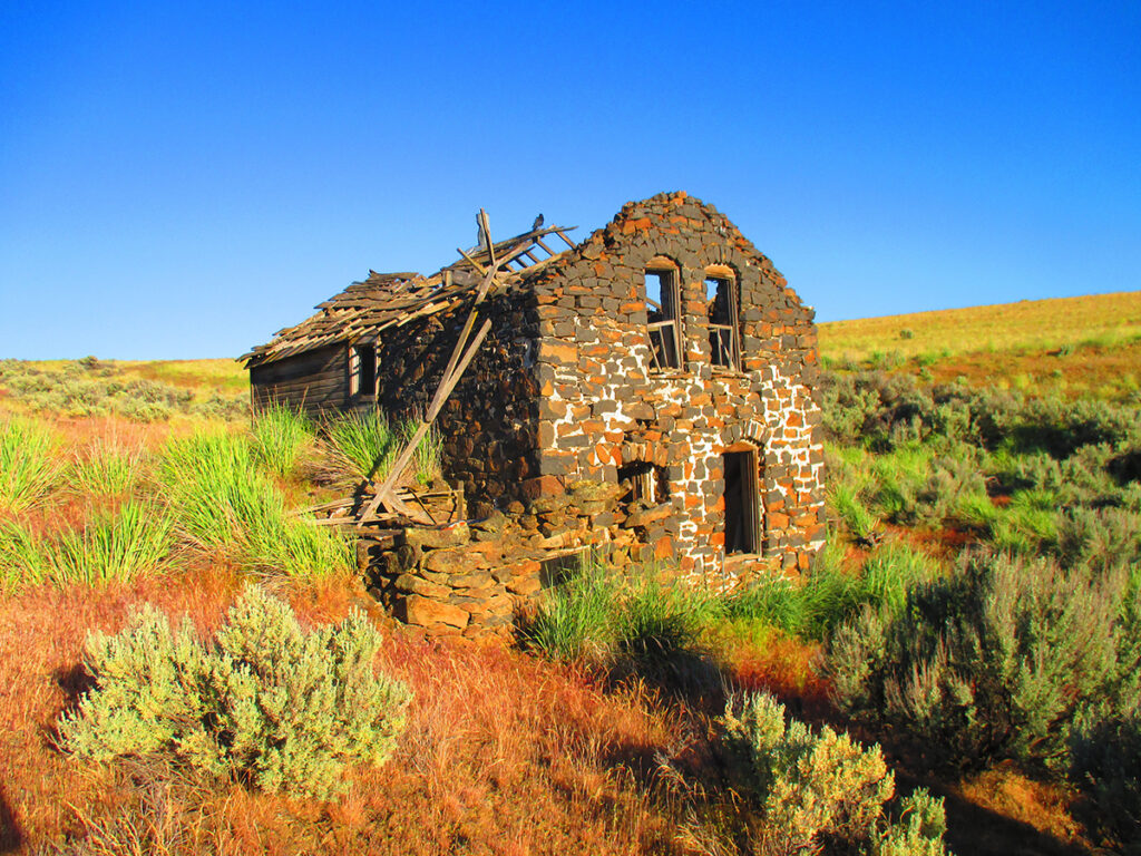
I’ve yet to see another hiker, but there are people around. On my first visit, at the south trailhead, I watched an SUV do the creek crossing. Assessing my low clearance sedan could also make it, I slipped around a lot, but got through. I arrived at the trailhead, which isn’t an accurate description—there are no trails; rather, a series of falls amid a picturesque setting attracts visitors. Past here the road becomes rough and has more and deeper water crossings, requiring a high clearance vehicle. There is dispersed camping along the creek, and it appears locals know this area well and use it often. I walked a few miles of the road, then hiked up a steep slope and did a very pleasant off-trail trek back to the “trailhead” to set up camp.
The beauty and expansiveness held such an appeal that I went back repeatedly, doing eight long hikes, covering about 120 miles. Wandering widely, coming across interesting and sometimes peculiar things, along with the simple concept of exploring a place really pleases me. Being the outdoorsy type who enjoys a little exertion, this is both an adventure and delight. It’s not unusual that I happen upon an extremely beautiful spot and experience an outbreak of happiness. If I didn’t care about my equipment, an exuberant flinging of my water bottles and trekking poles into the air would be fitting.
On my next visit to the north trailhead, accurately labeled because there’s a trail, I found a nice amenity—no road water crossings. On the same road as the south trailhead I visited earlier, it climbs out of the canyon at this spot and connects to Highway 2. The trail takes over the canyon bottom here, slowly gaining elevation for several miles while approaching the Waterville Plateau.
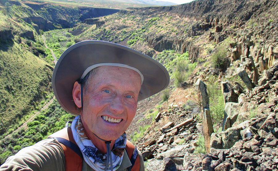
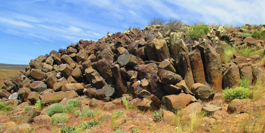
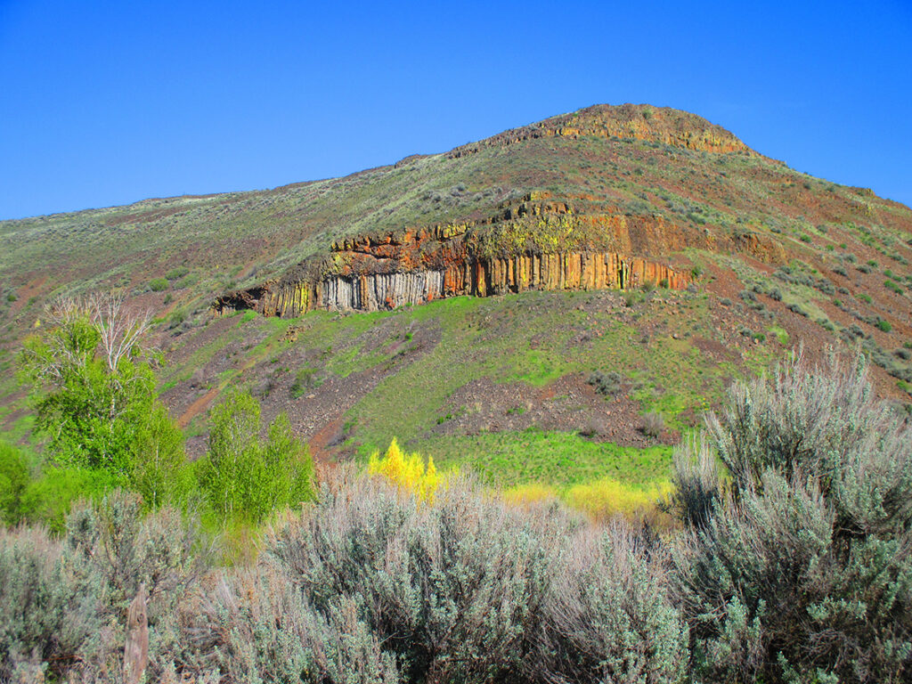
The canyon sides are mostly unclimbable, impressive walls of ancient basalt flows. I stopped often to admire this mini-Grand Canyon. Birds, which I normally never see or hear, make it a lively place. In some sections, the walls become steep slopes that are hike-able for the ambitious. This gave me access to exploring benches and high points, including Mt. Badger, the highest at 3,606 feet. There are a handful of trees on north-facing slopes, but grasses and sage dominate. A bonus for spending lots of time in a place—it’s inevitable you come across wildlife.
In the canyon bottom, the trail resembled an old rail bed in places. I dismissed this observation. A twisty, curvy canyon with a creek would require lots of bridges, and any train would have to travel very slowly. Hiking on, it became obvious my presumption was wrong. Back home, I did a little sleuthing.
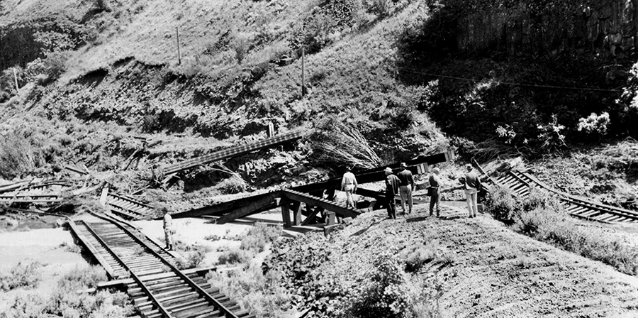
The Great Northern Railway built a branch line in 1909 that went through Douglas Creek Canyon. Wheat-growing on the Waterville Plateau justified a 61-mile route from the main line along the Columbia River that terminated in Mansfield. It was the most direct route and had the gentlest grade compared to alternatives.
But 49 bridges were needed, most in the 9-mile stretch of Douglas Creek Canyon. It was the greatest number of bridges per mile of any branch line in the U.S. However, high flows took out bridges and sections of rail bed several times. The floods of 1938 and 1948 were especially bad. In the 1948 event, 22 bridges were lost and several more damaged. It wasn’t economically feasible to repair; however, knowing how dependent the few, small towns on the Waterville Plateau were on the line, The Great Northern rebuilt it anyway. According to the Oct. 28, 1948 “Wenatchee World,” 30 new bridges were constructed.
When the Mansfield Branch Line began service, there were two daily trains, a passenger and a freight. Passenger service was discontinued in 1949, and by the 1970s, a once-a-week freight run was all that remained. The last train ran on March 2, 1985. The rails and bridges were dismantled.
Hiking dry Central Washington is best done in April and May, in my opinion, but I’ve done plenty of outings in fall and winter—usually there’s light to no snow cover. When the occasional mild winter day arrives, weather in the Columbia Basin can border on springlike. Be aware though, the area is open for hunting in the fall.
For trail information, Google Douglas Creek Canyon North. For rail history buffs, a blog about the Mansfield Branch Line is at Ndarrin97.blogspot.com.
James P. Johnson is the author of a local historic places book, “Spokane and Coeur d’Alene Freshwater Shark Attacks.”


