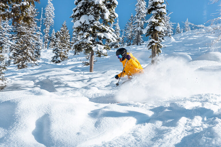
By March the 4-O Ranch unit of the Chief Joseph State Wildlife Area is easing into spring mode. Green grass is returning to the open slopes and visitors can expect to see wildflowers, even as the mountains to the north are still open to skiing and snowshoeing.
The larger Chief Joseph Wildlife Area totals over 25,000 acres of public lands in the southeast corner of Washington. The 4-O Ranch is the newest of four units that comprise the area, purchased for its excellent wildlife habitat in 2016. The entire unit totals 10,500 acres, so use this description as a starting point for further exploration within the greater landscape.

Aside from a sneak preview of the advent of spring, the chance to view wildlife is a major draw for the area. Seeing fauna is never a guarantee, but I find I nearly always spot multiple ungulates on spring visits to the southeast corner. Be sure to bring binoculars when visiting and have them handy even during the drive to the trailhead. Although I did not see them within the wildlife area on my visit, I did see numerous bighorn sheep while driving along the Grande Ronde River on my way to hike.
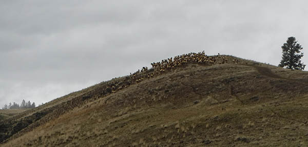
Once on trail, I found myself in the midst of a slow elk migration up the ridge. They appeared in small groups of 5-10 animals, walking slowly up the same old farm road I was using. Around almost every bend additional small groups would join the procession, until I finally reached a prominent vista and realized I was easily seeing over 100 animals. I’d originally been excited to see buttercups, but it was far more interesting to take part in an elk parade!
If you go, be sure to visit the Washington Department of Fish and Wildlife (WDFW) website first to print an access map for the area. From the parking lot, hikers will need to cross the road and climb over a fence to access the property (note the green WDFW signs on the fence; if you reach Cougar Gulch Road you’ve gone too far to the west). The “trail” is actually an old farm road that winds its way to a viewpoint that offers an excellent vantage above the Grande Ronde River. From the highpoint, use map and compass to set off on further explorations away from the farm road, or retrace the path to return to the valley floor.
Round-trip distance: 4 miles
Rating: Moderate
Elevation gain: 1,500 feet
Getting There:
From Spokane drive south to Lewiston/Clarkston, then proceed on Highway 129 to Asotin. Pass Anatone and Field Spring State Park, proceeding to Grande Ronde River Road. Turn west toward Troy, Ore., and proceed approximately 4 miles. Park in the WDFW Grande Ronde River access site on the left, then cross the road to access the 4-O Ranch Property (note the green WDFW signs along the fence). Discover Pass required. //
Holly Weiler writes the Hike of the Month column in every issue of Out There.


