Exploring the landslides at Sherman Creek Wildlife Area on Lake Roosevelt
By James P. Johnson
Cover photo courtesy of James P. Johnson
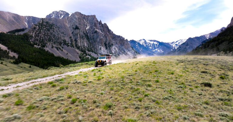
I’m always looking for new areas to day-hike within driving distance of Spokane. The Sherman Creek Wildlife Area just west of Kettle Falls is a place I’d heard of but never hiked until last year. With several miles of trails along the west shore of Lake Roosevelt and the typical ponderosa forest so common across Eastern Washington, I expected mostly flat terrain and pleasant, but unspectacular scenery. That’s the case, but while exploring the trail system, which runs from the wildlife headquarters at the north end to Haag Canyon Campground at the south, I came across some interesting history.
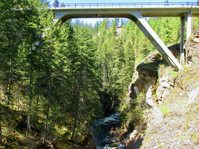
The first indication is the old, but elegant, bridge spanning Sherman Creek at one of the trailheads, much larger than necessary for a pedestrian crossing. Finding pavement underneath the pine needles on the other side, it is apparent the trail is a former road. Just a 10-minute walk from the trailhead, it ends abruptly. A long section of road, along with tons of sand and silt, now sits at the bottom of the Columbia because of a 1952 landslide.
Thinking it’d be nice if there were interpretive signs explaining what happened, I hiked another 10 minutes on a trail that circumvents the slide and my wish was fulfilled. Photocopied pages from a United States Geological Survey (USGS) study, stapled to a wooden bulletin board, give details about multiple slides that have occurred over the years.
Layers of sand, silt and clay were deposited here by receding floodwaters of melting glaciers at the end of the last ice age, around 12,000 years ago. These soils are susceptible to saturation during heavy snowmelt or rain. As the saturated soil approaches liquefaction, it loses structure and slides into the river.
Though there’s evidence of a history of landslides, the first known landslide within the prone area, now part of the Sherman Creek Wildlife Area, occurred in 1894. Witnesses reported the slide reached the opposite side of the river, piling debris on shore. For about an hour, the Columbia River was blocked. Farms and orchards behind the landslide dam flooded.
After the completion of Grand Coulee Dam and establishment of full pool in 1942, landslides have occurred more frequently. The raised water table increases the possibility of soil saturation during heavy rain or snowmelt.
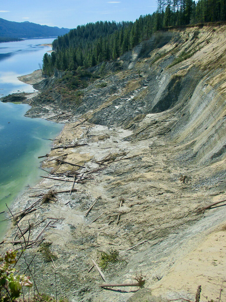
This spring, I returned for another hike after reading of a large landslide last November. According to news reports, this was the largest to hit the area in decades. I found a slide area littered with downed trees and bare, earthen slopes. The slide edge is now within 10 feet of the surviving old road.
The landslide triggered a wall of water that crossed Lake Roosevelt, hitting an area known as Colville Flats on the other side. Water flowed onshore, and when it drained back into the lake, it took out trees, vegetation, and swept away enough soil to make the new shoreline about 150 feet farther inland than before.
For a pleasant hike and a view of the landslide’s effects, drive about two miles on Highway 20 after crossing the bridge over the Columbia River. Turn left on Mellenberger Road and go about one mile to the trailhead at the bridge. The USGS study documenting slide activity in this area can be accessed at Pubs.usgs.gov/pp/0367/report.pdf.
A longtime runner, James P. Johnson writes an absurdist blog about running at IMustRunEverywhere.com.