By James P. Johnson
Cover photo courtesy of USFS
If someone puts up a sign next to a hiking trail, I’ll stop and read it. If I’ve read it before, even multiple times, I’ll still stop and read it since I’m not at the top of the rankings for reading retention.
A hiking trail with interpretive signage is a pleasant curiosity that adds enjoyment to a hike. I’m an avid hiker and often do demanding, day-long hikes that go deep into remote areas where I don’t see another person all day. But I also like interpretive trails that are close to towns, short, and can be busy with hikers.
That’s the case with the following hiking areas. When the rare pleasant spring day comes along, combining a scenic drive in the country with a short, informative hike and a stop for food and drink can be as fun as a grueling sun-up to sundown 20-miler, though I think most people would say the scenic drive and short hike sounds a lot more fun.
The following hikes’ interpretive signage provides information about the unique natural and human history of the site.
Pioneer Park Kalispel Heritage Trail—This recently reconstructed trail, a couple miles outside Newport, Wash., has a dozen new interpretive signs that explain the archeological finds of a former Kalispel tribal encampment on the banks of the Pend Oreille River. I found the information about how traditional Native Americans lived and used the site very interesting. Despite much reading on this topic, some facts were new to me.
Less than a half-mile long, consisting of paths and a boardwalk, the trail is within a Forest Service campground, Pioneer Park, and accessed when the campground is open, from the Friday before Memorial Day to the last Monday in September. Unless you’re camping, there’s a day use fee of $10. During the off season, an employee at the Newport Ranger Station told me locals often park at the gated entrance to walk about the campground. You may be able to do so as well as long as you don’t block the way in case access is needed.
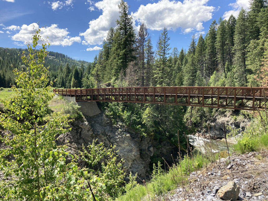
Pulaski Tunnel Trail—Just outside Wallace, Idaho, this well-maintained trail has a dozen fairly new signs. The first 725 feet of the trail is ADA compliant, and you’ll find several interpretive signs; however, to reach the tunnel where Pulaski and his men sheltered from fire it’s an out-and-back hike totaling 4 miles with a few short, steep sections, several bridge crossings, and 800 feet of elevation gain. The trail follows a creek at the bottom of a deep ravine and in March, may still be snow-covered, which was the case when I hiked it, thus a hiking stick or trekking poles would be helpful.
The signage gives details about the The Big Burn, the well-known 1910 wildfire that scorched millions of acres. Led by Ed Pulaski, a Forest Service ranger, a group of firefighters made it to a mining tunnel as the uncontrolled blaze ravaged everything around them. Sheltering in the tunnel allowed 39 of the 45 men to survive. No fee or pass required to hike.
Waikiki Springs Natural Area—On the outskirts of Spokane along the Little Spokane River, this area gets lots of visitation. With its open ponderosa forest and southern exposure, you may find wildflowers blooming by the end of March, the earliest of all these areas. It’s about a 2-mile round trip to peruse the half dozen interpretive signs on the north side of the river. I used to live near this preserve and regularly ran there in the late ‘90s and early 2000s. The Inland Northwest Land Conservancy, with an assist by the Washington Trails Association, have since constructed more trails to go with the signs, which is a nice add-on should you opt for additional hiking.
The site used to be a large dairy in the early 20th century. It was owned by Jay P. Graves, a wealthy landowner who donated other land for Manito Park and Whitworth University. The signage details this use as well as info about geology, wildlife, first peoples’ history, and efforts to restore the river ecosystem. A Washington State Discover pass is required for trailhead parking.
Log Flume Interpretive Trail—Sitting next to Highway 20 a bit more than 10 miles west of Kettle Falls, Wash., this rest stop has a half-mile, paved trail. In the early 20th Century, the Kettle Range was heavily logged, and part of a log’s journey here was via a log flume, traveling downhill, pushed by water flowing in the flume. Flume remnants can be seen along with interpretive signage explaining the history of early day logging in the Kettles. No fee or pass necessary.
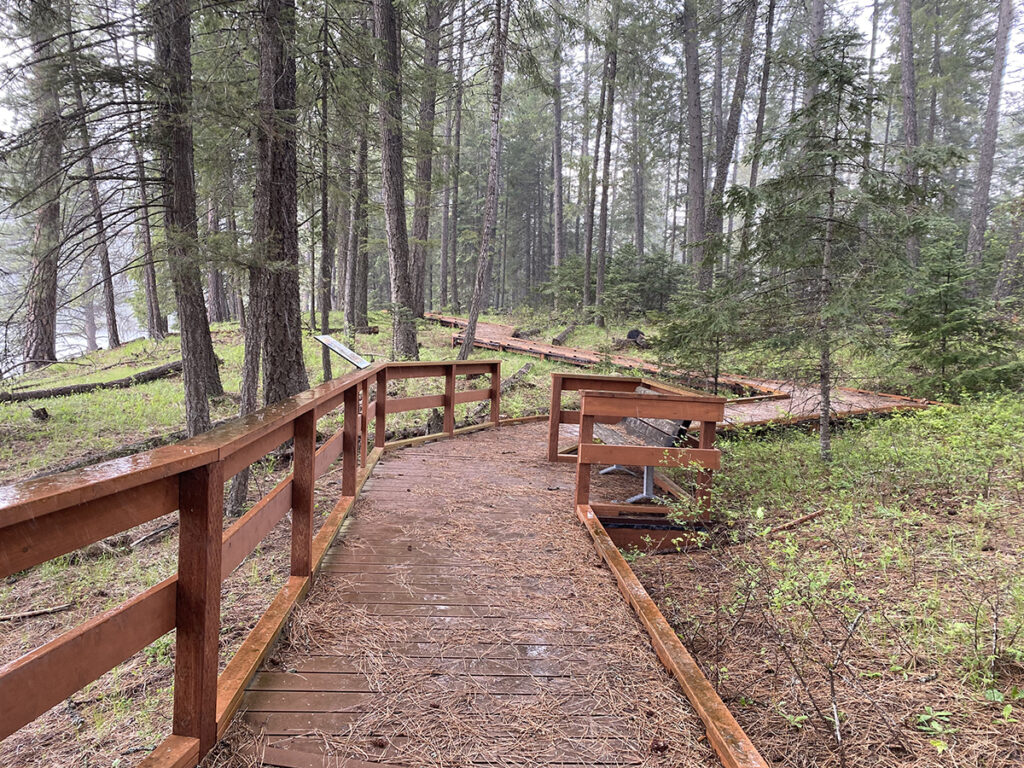
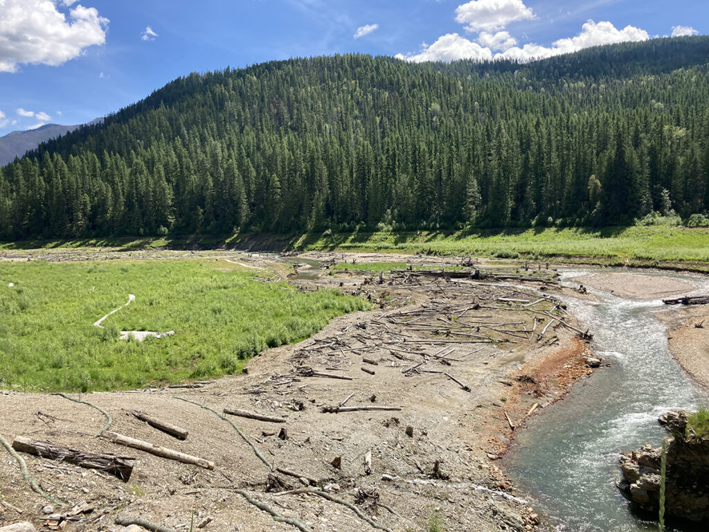
Mill Pond Historic Site—About 5 miles from Metaline Falls, Wash., near Sullivan Lake, this is the site of a dam on Sullivan Creek that was built to store water for a flume that powered a hydroelectric generation plant downstream and was removed in 2017. The drained pond has been returned to its former natural condition and updates to the Mill Pond campground, day use area, trails, and interpretive signs were completed. There are no day use fees.
A couple miles of trails run through and around the former Mill Pond. The interpretive signs give information about the site and early Metaline Falls history.
Mullan Trail Historical Site—Adjacent to I-90 and about 13 miles east of Coeur d’Alene, Idaho, remnants of the Mullan Trail can be seen, a road constructed through what was then unsettled wilderness beginning in 1859. It ran from Fort Benton, Mont., to Fort Walla Walla, Wash. The half-mile trail is in need of a little maintenance, but the signage is still readable. Just off the exit at the top of Fourth of July Pass, the site is well-wooded, but with the freeway nearby, it’s not as quiet as the other hikes.
Unless maintenance work is being done, these sites can be accessed year-round. Information and directions for each can be found by Googling the hike name.
James P. Johnson has been using his running lifestyle blog, IMustRunEverywhere.com, as a construct for absurdist humor. Despite doing it since 2013, he continues to crave whatever chuckles it can elicit.