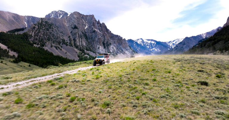
Home to the University of Montana in the whole-foods-and-hiking-boots heart of the state, Missoula is a community of fit free spirits—consider it a cross between Bend and Bellingham. In recent years, the city’s running and river surfing communities have put it on the adventure-sports map, but hiking remains king here.
But full parking lots belie quiet footpaths, with dozens of miles of trails around the city dispersing trail runners and toddler-toting strollers. And its location in a miniature banana belt means that Missoula’s hiking season gets into full swing in spring, when the region’s high-country hiking opportunities still lie encased in snow. These five classic Missoula treks will introduce hikers to Missoula’s many charms.
Mount Sentinel
The large white “M” on above the University of Montana campus is the most immediately visible of the city’s landmarks, the short trail leading up to it a favorite destination for students showing visiting relatives around. But it’s merely the public face of a sprawling trail system that connects forested Pattee Canyon on the east side of town with the letter-stamped Mount Sentinel. Named after an early Bitterroot Valley settler, the Pattee Canyon trail system crisscrosses gently sloping meadows and old-growth ponderosa and larch groves. From the Crazy Canyon trailhead—one of the primary portals into Pattee Canyon–the 3.5-mile hike to Sentinel’s summit stitches together a crazy-quilt collection of spur trails and skid roads through old-growth ponderosa forest. Snags surround a wind-swept summit; bluebirds can often be spotted flitting among these gray perches. Views abound, of the forested lower reaches of Rattlesnake Recreation Area to the north and the broad granite defiles of the Bitterroot Valley to the south.
Stuart Peak
A century ago, travelers up the Rattlesnake Creek drainage north of Missoula would have found a bustling community, complete with a school, post office and hundreds of homesteaders. Today the Rattlesnake bustles with the sound of running shoes slapping gravel and mountain bikes clattering down high-speed trails.
Protected because it was the municipal water supply, the Rattlesnake drainage remained in private hands until the early 1980s, when Congress set aside 61,000 acres in the Rattlesnake drainage to foster watershed, recreation, wildlife, and education: 28,000 acres were designated a National Recreation Area; the remaining 33,000 acres were designated wilderness. Today the Rattlesnake is one of the closest Wilderness areas to a major metropolitan area in the United States.
The origin of the Rattlesnake appellation is unclear: some historical sources claim it’s in honor of a homesteader who succumbed to a rattlesnake bite in the drainage; other sources states it’s in echo of the Salish word for “rattlesnake.” Either way, hikers need not worry about snakes, which don’t live this far up the creek valley. But black bears and cougars should be top of mind; sightings of both are common.
The granddaddy of Rattlesnake hikes is the 18-mile roundtrip trek to Stuart Peak. Don’t be put off by the mileage: outside of Glacier National Park, few trails in Montana match the Rattlesnake’s penchant for pleasantly graded and buffed tread. Determined hikers and trail runners can easily do Stuart Peak as a day hike. A procession of shallow-grade switchbacks gain elevation in lazy loops like a fledgling bird; in late spring, lupine garland larch in the open, fire-prone forest. Wind-stunted whitebark pine surround the summit, a gray and granite dome that overlooks no fewer than a half-dozen lakes in the interior of the Rattlesnake Wilderness. Worthy based solely on its scenic merits, Stuart has added appeal as an exemplar of urban wilderness: where else can you find a nearly 20-mile subalpine summit hike with a trailhead accessible by city bus?
Sawmill-Curry Loop
Before the Forest Service acquired the land that now comprises the Sawmill-Curry portion of the Rattlesnake National Recreation Area in a land exchange with a private landowner in 1986, a century of ranchers and ax-swingers made their homes and livelihoods here. Connecting old timber skid roads and livestock driveways, the 6-mile Sawmill / Curry loop visits moldering homesteads and ancient orchard trees, which mingle with old-growth ponderosa pines spared the saw. It’s a hike rife with history, but there’s lots of life here, thanks to a profusion of open-forest blooms—lupine, balsamroot, buckwheat and more. Be sure to pick up a brochure at the trailhead; the seventy or so miles of trail in the Rattlesnake can bewilder newcomers, nowhere more so than this portion of the recreation area.
Mount Jumbo
A myriad of user-created paths wind toward the Loyola High School “L” on broad, grassy Mount Jumbo, which, with the “M” on University Mountain, bookends Hellgate Canyon. Balsamroot and bunchgrass blanket the broad, south-facing slope that overlooks the confluence of Rattlesnake Creek and the Clark Fork River. Speaking of rattlesnakes: although they don’t dwell in the eponymous recreation area farther up the creek, the snakes do inhabit Mount Jumbo; it’s not uncommon to encounter a rattler sunning itself in the middle of the trail come late spring. Beyond the L, hikers can continue up to copses of firs surrounding Jumbo’s flat summit, from which the views down the Bitterroot Valley are unmatched.
South O’Brien Creek
Ask an avid Missoula hiker about South O’Brien Creek, and—assuming they don’t respond with a blank stare—their reply will likely be “Is that the one with all the ceramic angels?” Yes, it is—courtesy of a homeowner with a whimsical sense of style along the gated gravel right-of-way that constitutes the first part of this 7-mile hike. But there’s no shortage of earthly delights in this drainage that abuts Blue Mountain Recreation Area on the southwest edge of Missoula. From the usually-empty trailhead, the South O’Brien Creek loop passes private property on the lush O’Brien Creek drainage before ascending sunbaked, south-facing slopes of ponderosa and wildflowers. The grassy ridges afford unobstructed views of Blue Mountain and its lookout tower to the south and Missoula and Mount Sentinel to the east. With only modest elevation gain and the option of tacking on nearly 3 miles in figure-eight fashion on the adjoining North O’Brien Creek loop, South O’Brien Creek makes for a pleasant early-season conditioner. //