Regional Trails–Biking
Road Biking
Road Bike Areas
The Spokane area offers the best in road biking. You can live in the heart of our city and ride from home, visiting quiet roads in minutes.
We have low traffic rural roads surrounding the city that lead to pine forests, rolling wheat fields and small towns. Spokane has a four season climate, with humidity so low in the summers that our weather forecasters don’t bother to report it!
Trails around Spokane include the nearly 50 mile Centennial Trail. This trail parallels the Spokane River from Northwest of the city, through downtown’s Riverfront Park and over the state border where it becomes the Idaho Centennial Trail. Great for families with kids too. The newly paved Fish Lake Trail is also a good place to take the family with no hills and no traffic.
Trail of the Coeur d’Alenes is a beautiful paved trail following railroad right-of-way from Mullan near the Montana border, to Plummer on the prairie near the Washington border. There are 72 miles of paved paths through the mountains, the historic Silver Valley, along the river and past a series of lakes, along the shore of Lake Coeur d’Alene, over the Chatcolet Bridge to Heyburn State Park, and then climbs to the Palouse prairie.
Mountain Biking
Mountain Biking Areas
There are almost unlimited opportunities for mountain biking on public lands in the Inland Northwest. From rails-to-trails with soft surface and long distances, to abandoned roads and cow trails on BLM lands that include Escure Ranch and Swanson Lakes, to the downhill runs at Beacon Hill and Mount Spokane.
These areas are close to Spokane and offer a great variety of terrain:
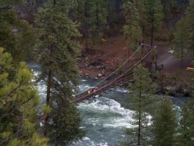
Riverside State Park
Over 50 miles of official bike trails cover all types and difficulty of terrain on this 10,000 acre forested park just minutes from downtown Spokane. Trails negotiate the banks of the Spokane River, as well the surrounding hills. Also, the Spokane Centennial Trail passes through Riverside State Park. This 37 mile trail runs all the way to the Idaho state line and continues in Idaho as the North Idaho Centennial Trail.
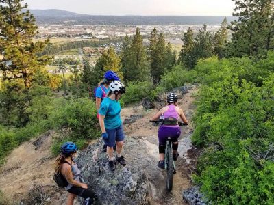
Beacon Hill * John H. Shield Park * Minnehaha Rocks * Camp Sekani & Upriver Parks
This popular cross-country and downhill mountain bike and climbing area is also located adjacent to the Spokane Centennial Trail between Greene St. and Argonne on Upriver Drive. This location is used to host regional IMBA events, and includes world class downhill terrain. It is also the site of the co-sponsored Sekani Adventure Day (Spokane City Parks and Recreation, INTC and Out There Monthly).
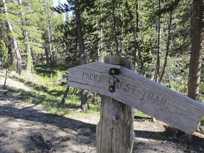
Mount Spokane State Park
This is the largest state park in Washington with nearly 14,000 acres and 90 miles of bike trails. Routes range from easy cross country to highly technical down hill rides. Many down hillers shuttle to the top of Mount Spokane and save their energy for the technical demands on the way down.
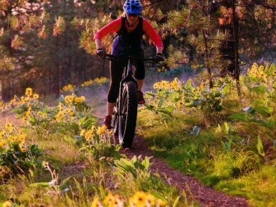
Bluff / High Drive
This is a network of 20 miles worth of trails, most of which are on a steep uphill. Most of the tracks are single, and some are double. There is known to be quite a bit of traffic from hikers and other bikers in this area. Rider High Drive Parkway Trail is a 9.9 mile that is doable at every skill level. The trail offers a number of activity options and is accessible from March until November.
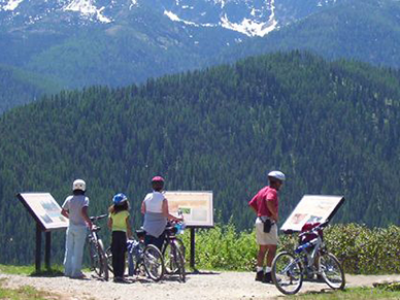
Route of the Hiawatha
This popular bike ride follows an abandoned rail-bed from the Milwaukee Road just off I-90 past Lookout Pass in Montana 15 miles downhill through tunnels and over trestles to Pearson in Idaho. Ride both directions (2% grade back uphill) or take a shuttle bus back to the top. There is a fee for this ride and also the shuttle and it is not open all year so check the links below for more information. Also make sure you have something warm for the Taft tunnel and a good bike light and a helmet.
The Columbia Plateau Trail travels 130 miles from East Pasco to Fish Lake (near Spokane), through the channeled scablands and pine forests of eastern Washington. There is a small paved section from the Fish Lake Trail Head off the Spokane/Cheney Road but the rest is gravel.
A good section of the gravel path travels through Turnbull National Wildlife Refuge. Advocates are hard at work in Spokane to have the portion from Spokane to the Fish Lake Trail Head completed.
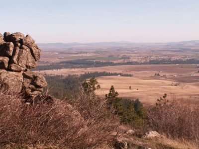
Iller Creek Conservation Area
The loop trail at Iller Creek climbs over 1600 feet, and passes Big Rock in the Rocks of Sharon, which is the largest of the number of monoliths that protrude from a ridge that runs east from Tower Mountain.
To get to the Iller Creek Trailhead: Locate Dishman-Mica Road and Appleway. Take Dishman-Mica Road South and turn right on Schafer Road at the signal. Turn right at the stop sign on 44th Ave. Left on Farr Road. Right on Holman Rd. and follow to the end.
The ridge trail up to the rocks starts to the left and the trail up Iller Creek is straight ahead. To the right are trails on Tower Mountain. The Tower Mountain area is privately owned and is not included in the conservation area.
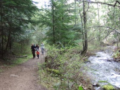
Liberty Lake
You can also bike around the Liberty Lake Loop trail, which is about 8.5 miles and accessible from February-October. This lovely trail follows Liberty Creek and lots of beaver activity to a grove of old Cedars. Past the Cedars, the trail climbs up to a waterfall and a vista of the Lake. At the top there is a shelter built by Scouts. From here the trail loops back down to connect to the original trail. For more information and directions visit Liberty Lake County Park. The Cedar Grove is a Conservation Futures property. More information can be found on the Washington Trail Association's website.
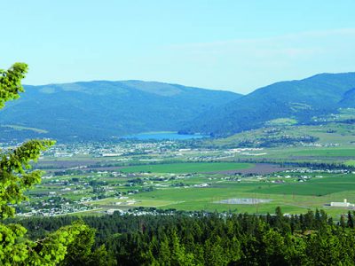
Saltese Uplands
This 5 mile loop is located in the Saltese Uplands Conservation Area, and offers nice views of Liberty Lake below. The trail is criss-crossed with various paths, and there is a decent amount of traffic from hikers and other bikers. It is single-track and doable for new bikers, but does require some consistent climbing.
