Early summer is a great time to visit the wildflower-rich meadows dotting the ridgetops throughout the Blue Mountains. This 20-mile loop traverses the heart of the range and tags 6,387-foot Oregon Butte, the tallest point in southeast Washington. And while the route stays high, it’s never dry—thanks to plentiful springs that attract wildlife.
The Rattlesnake Trail leaves directly from Panjab Campground. Ford Panjab Creek (can be spicy in high water) and immediately switchback up the ridge. The trail climbs nearly 2,000 feet in 2 miles—a slog, for sure! But you’ll get views of the surrounding canyons from the open ridgeline, which is carpeted in a sea of arrowleaf balsamroot in early summer.
After 2.5 miles, you’ll emerge into a wildflower-choked meadow upon a flat-topped ridge—the sort of open parkland the Blue Mountains are known for. In early summer, melting snow gives way to glacier lilies, Jacob’s shooting star, lupine, and scarlet gilia. It’s not a bad spot to catch your breath. Best of all, you’ve finished the biggest climb of the hike. It’s all gravy from here!
Hear something gurgling? If it’s not your stomach, it’s Alnus Spring, a few hundred feet north of the trail (a topo-enabled GPS is helpful for finding it). As you continue down the trail, you’ll pass near Red Fir Spring, south (downhill) of the trail and out of sight in the trees.
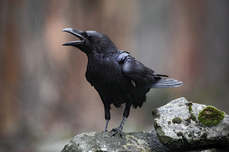
These springs make the ridges of the Blue Mountains great places to camp. Elk like to hang out near the springs, too, since they’re the only place to get water during the hot summer months. You can catch them grazing in the meadows near the trees at dusk and dawn.
Continuing south from Red Fir Spring, you’ll take the middle trail at a four-way intersection near mile 6. The gently rolling trail stays atop the ridge, poking in and out of little patches of forest until it reaches a half-mile side trail to Oregon Butte near mile 9.5.
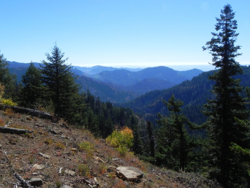
Oregon Butte is the tallest point in southeast Washington, and the 360-degree view from the summit is well worth the trip. Gaze down into the crumbly, 3,000-foot-deep basalt chasm carved by Third Creek, and then up to the hulking, 9,000-foot silhouettes of the Wallowa Mountains 50 miles away. There’s a fire lookout here that’s staffed during the summer—feel free to visit, but remember, you’re a guest in someone’s home.
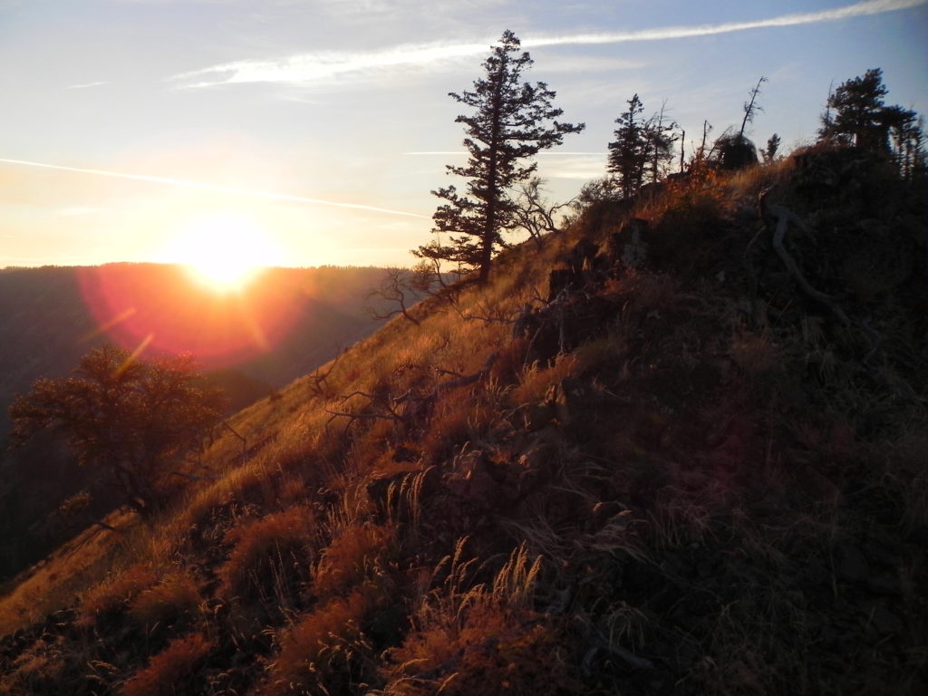
Continue following the ridgeline west for 3 miles to Teepee Campground. From the campground, take the trail heading north, which drops you into Turkey Creek. Now you’re in a whole new world—gone are the dry, sun-baked ridges, replaced by a fast-flowing stream and dark, spooky forest. If you’re lucky, you might glimpse a Lewis’s woodpecker, a brilliant pink and green bird that hangs out in these parts from April through October.
Four miles from Teepee Campground, you’ll hit the Panjab Trail. Stay left, and hike a mile and a quarter along the creek back to the road. To complete the loop, walk (or shuttle) 2 miles down the road back to your car.
Getting There
From Spokane, drive south on Highways 195, 26, 127, and 12 to Tucannon Road. Turn left (east) on Tucannon Road and drive 32 miles. At the fork, stay right on Forest Road 4713. Drive 0.3 miles to the kiosk at Panjab Campground (not to be confused with Panjab Trailhead, 2 miles farther down the road). There is no formal trailhead for the Rattlesnake Trail. There are several pull-offs near the kiosk where you can park; alternatively, if you have a Discover Pass, you can park in the dirt lot across the road on state property.P
[Photos by Paul Chisholm]